Location: Aş Şanamayn 🌎
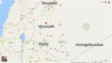
Location: Aş Şanamayn, Syria
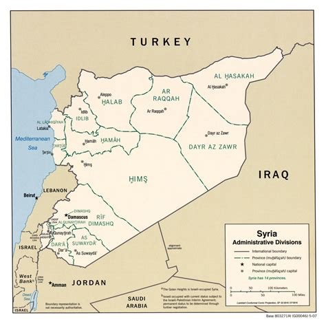
Administration Region: Dar‘ā
Population: 26268
ISO2 Code: Dar‘ā
ISO3 Code: SYR
Location Type: Lower-level Admin Capital
Latitude: 33.0711
Longitude: 36.1842
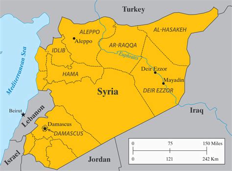
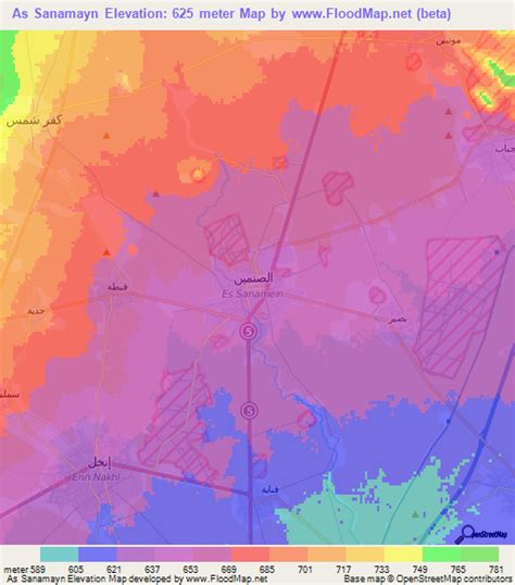
Al-Sanamayn (Arabic: ٱلصَّنَمَيْن, romanized: aṣ-Ṣanamayn, also spelled Sanamein, Sanamain, Sunamein) is a city in southern Syria, administratively part of the Daraa Governorate and the center of al-Sanamayn District. It is located 55 kilometres (34 miles) north of Daraa and 50 kilometres (31 miles) south of Damascus. Nearby localities include Kafr Shams to the northwest, Deir al-Bukht to the north, Jabab to the northeast, Bassir to the east, Tubna to the southeast, Inkhil to the southwest and Qayta to the west.According to the Syria Central Bureau of Statistics (CBS), al-Sanamayn had a population of 26,268 in the 2004 census. In addition to being capital of the al-Sanamayn District, the city is also the administrative center and second largest locality of the al-Sanamayn nahiyah (“subdistrict”) which consists of 16 localities with a collective population of 113,316 in 2004. The city’s inhabitants are predominantly Sunni Muslims. Al-Sanamayn has an altitude of 640 metres (2,100 feet).

Top Aş Şanamayn HD Maps, Free Download 🗺️
Map
Maps
United States
United States
World Map
China
China
