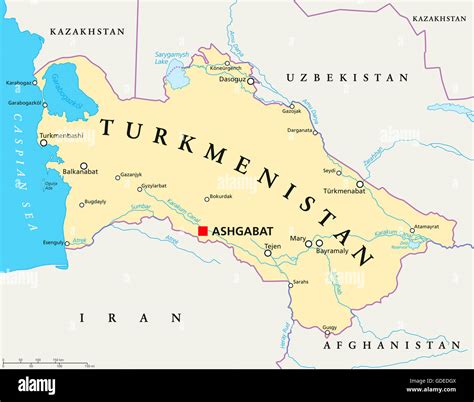
Location: Ashgabat 🌎
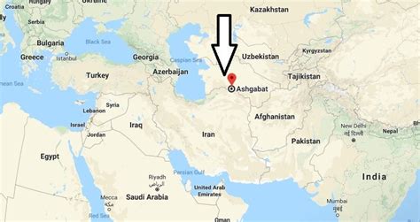
Location: Ashgabat, Turkmenistan
Administration Region: Aşgabat
Population: 828100
ISO2 Code: Aşgabat
ISO3 Code: TKM
Location Type: Primary Capital
Latitude: 37.9375
Longitude: 58.38
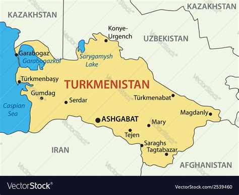
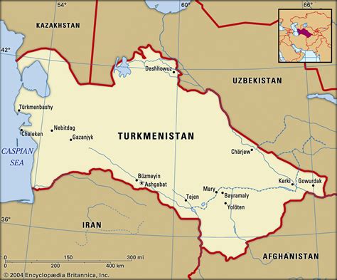
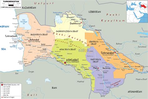
Ashgabat or Asgabat (Turkmen: Aşgabat, [ɑʃʁɑˈbɑt]; Persian: عشقآباد, romanized: Ešqābād, formerly named Poltoratsk (Russian: Полтора́цк, IPA: [pəltɐˈratsk]) between 1919 and 1927, is the capital and the largest city of Turkmenistan. It lies between the Karakum Desert and the Kopetdag mountain range in Central Asia, near the Iran-Turkmenistan border.
The city was founded in 1881 on the basis of an Ahal Teke tribal village, and made the capital of the Turkmen Soviet Socialist Republic in 1924. Much of the city was destroyed by the 1948 Ashgabat earthquake, but has since been extensively rebuilt under the rule of Saparmurat Niyazov’s “White City” urban renewal project, resulting in monumental projects sheathed in costly white marble. The Soviet-era Karakum Canal runs through the city, carrying waters from the Amu Darya from east to west. Since 2019, the city has been recognized as having one of the highest costs of living in the world largely due to Turkmenistan’s inflation and import issues.

Top Ashgabat HD Maps, Free Download 🗺️
Map
Maps
United States
United States
World Map
China
China
