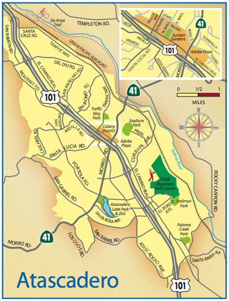
Location: Atascadero 🌎
Location: Atascadero, United States
Administration Region: California
Population: 29771
ISO2 Code: California
ISO3 Code: USA
Location Type:
Latitude: 35.4842
Longitude: -120.6725
Atascadero (Spanish for “Mire”) is a city in San Luis Obispo County, California, about equidistant from Los Angeles and San Francisco on U.S. Route 101. Atascadero is part of the San Luis Obispo-Paso Robles metropolitan statistical area, which encompasses the extents of the county. Atascadero is farther inland than most other cities in the county, and as a result, usually experiences warmer, drier summers, and cooler winters than other nearby cities such as San Luis Obispo and Pismo Beach. The main freeway through town is U.S. 101. The nearby State Routes 41 and 46 provide access to the Pacific Coast and the Central Valley of California.
Founded by E. G. Lewis in 1913, the city grew to 29,773 people as of 2020. Atascadero State Hospital is located in the city.
Top Atascadero HD Maps, Free Download 🗺️
Map
Maps
United States
United States
World Map
China
China
