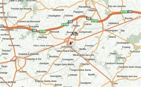
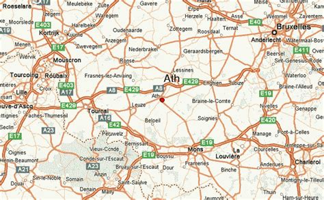
Location: Ath 🌎
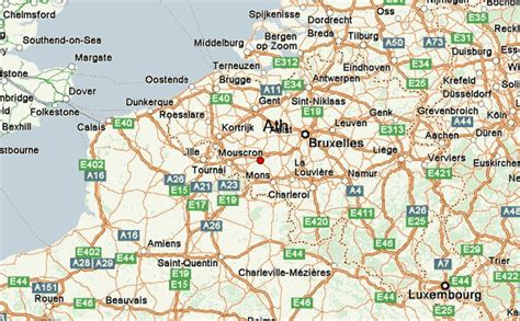
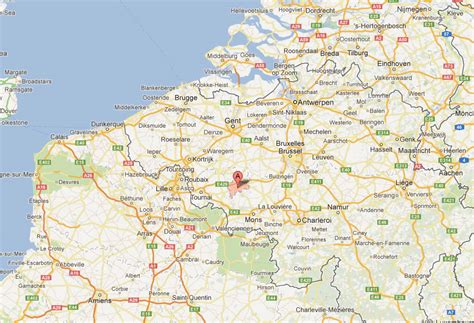
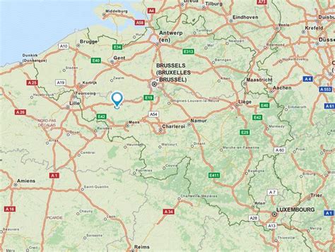
Location: Ath, Belgium
Administration Region: Wallonia
Population: 29164
ISO2 Code: Wallonia
ISO3 Code: BEL
Location Type: Lower-level Admin Capital
Latitude: 50.6167
Longitude: 3.7667
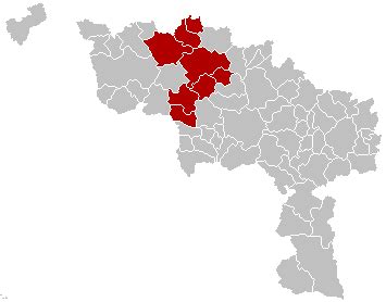
Ath (French pronunciation: [at] ; Dutch: Aat, Dutch pronunciation: [aːt] ; Picard: Ât; Walloon: Ate) is a city and municipality of Wallonia located in the province of Hainaut, Belgium.
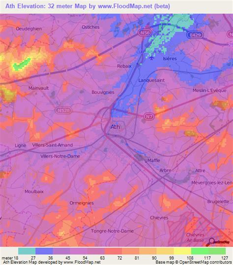
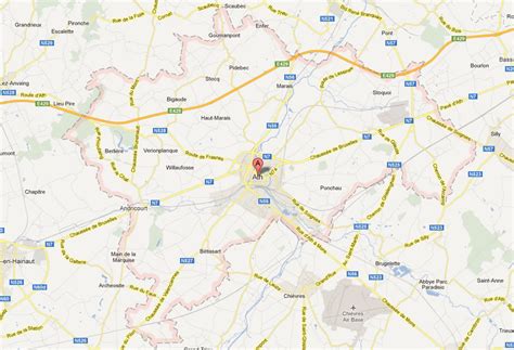
The municipality consists of the following districts: Arbre, Ath, Bouvignies, Ghislenghien, Gibecq, Houtaing, Irchonwelz, Isières, Lanquesaint, Ligne, Maffle, Mainvault, Meslin-l’Évêque, Moulbaix, Ormeignies, Ostiches, Rebaix, Villers-Notre-Dame, and Villers-Saint-Amand.
Ath is known as the “City of Giants” after the Ducasse d’Ath festivities which take place every year on the fourth weekend in August. Huge figures representing Goliath, Samson, and other allegoric figures are paraded through the streets, and Goliath’s wedding and his famous fight with David are re-enacted.
Ath is the point of origin of the river Dender from the merger of its Eastern and Western branches.
Top Ath HD Maps, Free Download 🗺️
Map
Maps
United States
United States
World Map
China
China

