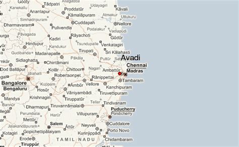
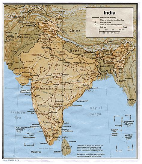
Location: Āvadi 🌎
Location: Āvadi, India
Administration Region: Tamil Nādu
Population: 345996
ISO2 Code: Tamil Nādu
ISO3 Code: IND
Location Type:
Latitude: 13.1097
Longitude: 80.0972
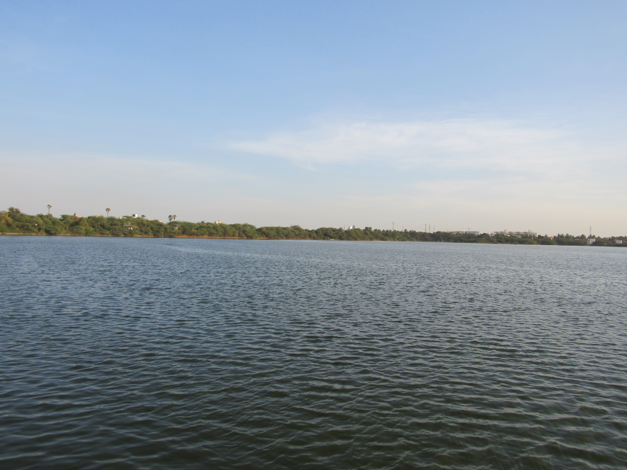
Avadi (Tamil: [aːʋaɖi]) is a suburb of Chennai within Chennai Metropolitan Area limit, located in the Thiruvallur district of Tamil Nadu, India. It is a municipal corporation west of Chennai, about 22 kilometres (14 mi) from Chennai Central Railway Station. It is surrounded by major defence establishments and is home to various universities and engineering colleges. The city is served by Avadi Railway Station of the Chennai Suburban Railway. As of 2011, Avadi had a population of 345,996, which is 10th most populous place in Tamil Nadu. It is home to the Heavy Vehicles Factory (HVF), Ordnance Factory Board (ODF) which houses Engine Factory and Combat Vehicles Research and Development Establishment (CVRDE). The lake in Avadi was known as Paaleripattu, which is now found only in very old land documents.
Top Āvadi HD Maps, Free Download 🗺️
Map
Maps
United States
United States
World Map
China
China
