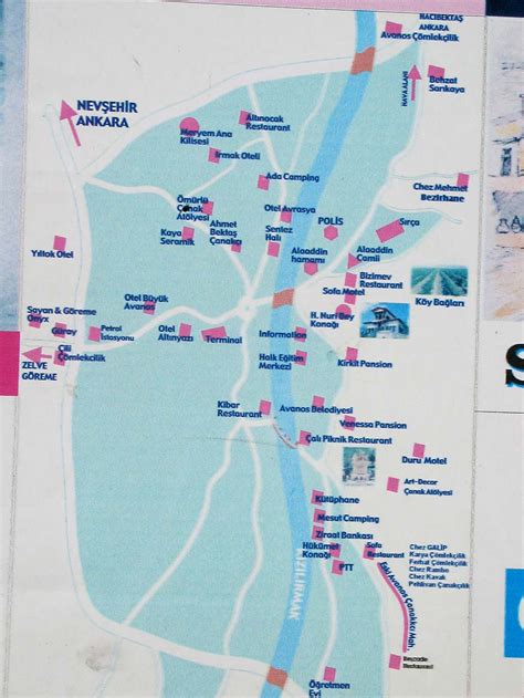
Location: Avanos 🌎
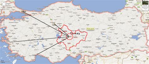
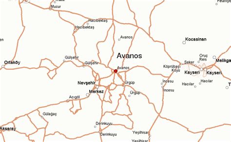
Location: Avanos, Turkey
Administration Region: Nevşehir
Population: 32618
ISO2 Code: Nevşehir
ISO3 Code: TUR
Location Type: Lower-level Admin Capital
Latitude: 38.715
Longitude: 34.8467
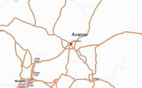
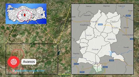
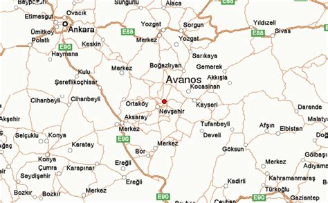
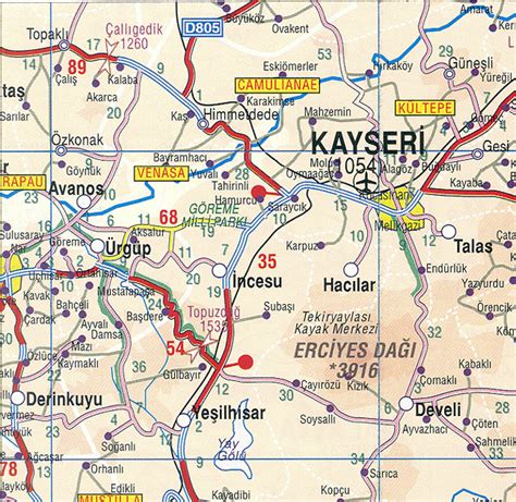
Avanos is a town and district of Nevşehir Province in the Cappadocia region of Central Anatolia, Turkey, located 18 km (11 mi) north of Nevşehir, the capital city of the province. In 2011 the population of Avanos town was 16,000. Historically known as Venessa, modern Avanos stands on the banks of the longest river of Turkey, the Kızılırmak (Red River), the ancient Halys.
The district covers an area of 994 km2 (384 sq mi), with an average elevation is 920 m (3,018 ft). The highest point is Mt. İsmail Sivrisi at 1,756 m (5,761 ft).
Avanos’ most important industry is pottery production, an industry which probably dates back to Hittite times and which makes use of clay from the red silt of the Kızılırmak. The town is also a popular tourist destination because of its attractive old town and riverside location.Like the rest of Cappadocia, Avanos has a continental climate with very hot, dry summers, and cold, snowy winters.

Top Avanos HD Maps, Free Download 🗺️
Map
Maps
United States
United States
World Map
China
China

