Location: Axochiapan 🌎
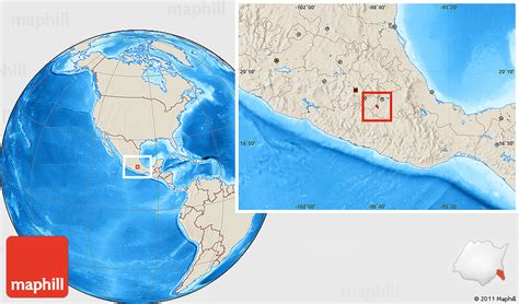
Location: Axochiapan, Mexico
Administration Region: Morelos
Population: 39174
ISO2 Code: Morelos
ISO3 Code: MEX
Location Type: Lower-level Admin Capital
Latitude: 18.5
Longitude: -98.75
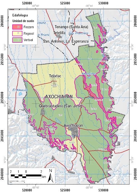
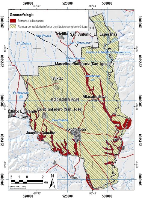
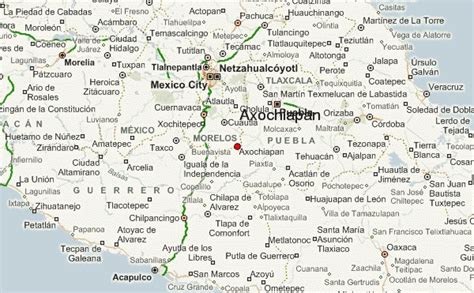
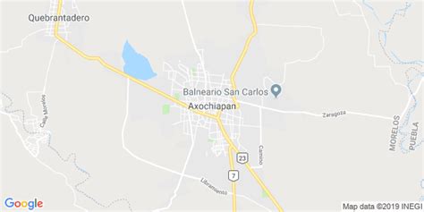
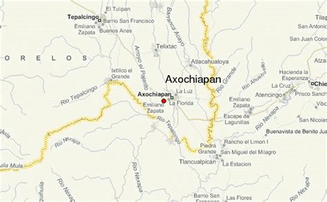
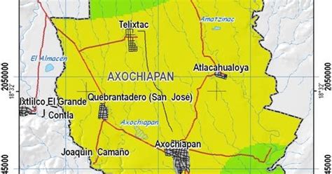
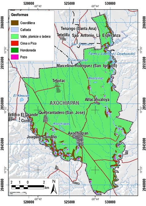
Axochiapan is a city in the Mexican state of Morelos. It stands at 18°30′N 98°45′W, at a mean height of 1,030 metres (3,380 ft) above sea level. It is surrounded by the State of Puebla to the east and south, Jonacatepec to the north, and Tepalcingo to the west.The city serves as the municipal seat for the surrounding municipality of the same name. The municipality reported 35,689 inhabitants in the year 2015 census. In 2020 the municipality of Axochiapan had 39,174 inhabitants and the city of Axochiapan had 19,085.Axochiapan is notable for the numbers of inhabitants that migrate north to the Minneapolis, Minnesota area.
Top Axochiapan HD Maps, Free Download 🗺️
Map
Maps
United States
United States
World Map
China
China
