Location: Babatngon 🌎
Location: Babatngon, Philippines
Administration Region: Leyte
Population: 28823
ISO2 Code: Leyte
ISO3 Code: PHL
Location Type:
Latitude: 11.4207
Longitude: 124.8434
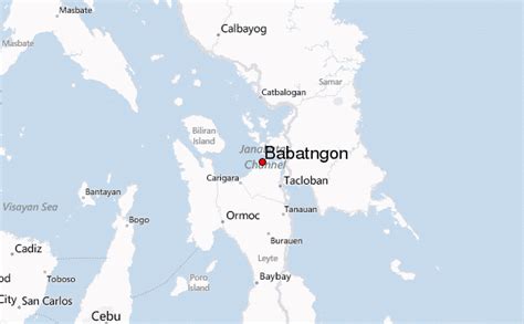
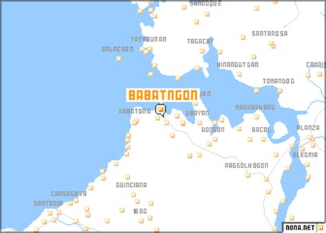
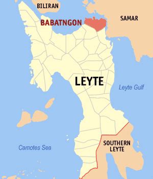
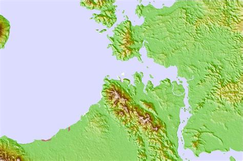
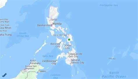
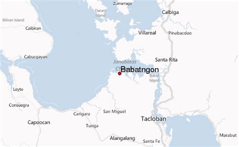
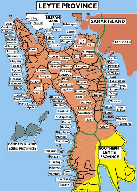
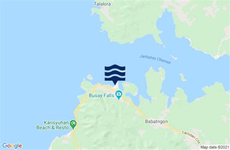
Babatngon (IPA: [bɐbɐt’ŋon]), officially the Municipality of Babatngon (Waray: Bungto han Babatngon; Tagalog: Bayan ng Babatngon), is a 4th class municipality in the province of Leyte, Philippines. According to the 2020 census, it has a population of 28,823 people. Babatngon is located in the northern part of the island of Leyte, along the shore of Carigara Bay. It is situated on a small plain set in a semicircle of mountain ranges and nestles in the northern mouth of the San Juanico Strait, which separates Samar from Leyte. Boats coming in or going out of Tacloban City have to pass by it through the pilot station of Canaway, one of the islets along the strait. It is 33 kilometres (21 mi) north-west of Tacloban City and about 10 kilometres (6.2 mi) north of the town of San Miguel. Small coconut covered islets fringe its coast along San Juanico Strait, the most important of which are Rizal, Magsaigad, Tabigue, almost all of which extend from east to west.

Top Babatngon HD Maps, Free Download 🗺️
Map
Maps
United States
United States
World Map
China
China
