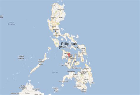
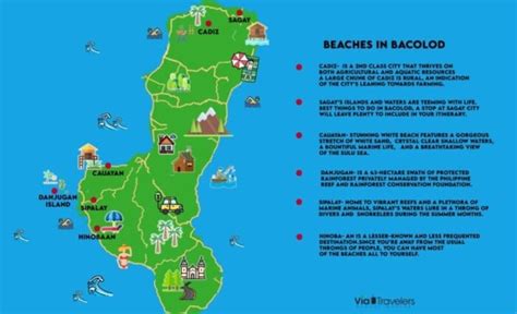
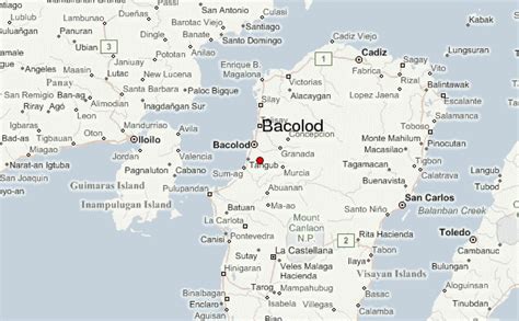
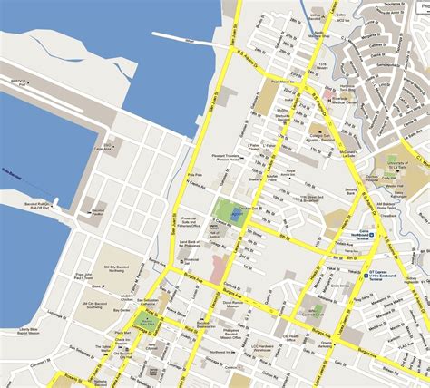
Location: Bacolod 🌎
Location: Bacolod, Philippines
Administration Region: Bacolod
Population: 600783
ISO2 Code: Bacolod
ISO3 Code: PHL
Location Type: First-level Admin Capital
Latitude: 10.6765
Longitude: 122.9509
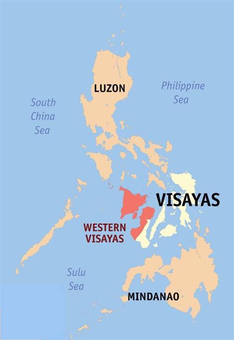
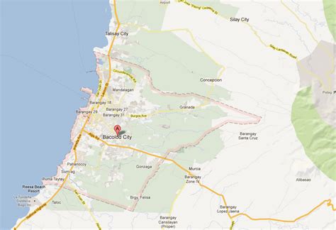
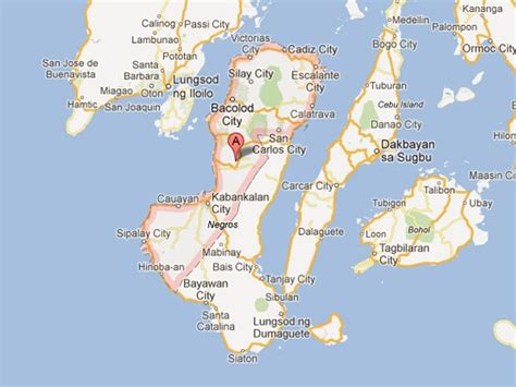
Bacolod, officially the City of Bacolod (; Hiligaynon: Dakbanwa/Syudad sang Bacolod; Filipino: Lungsod ng Bacolod), is a 1st class highly urbanized city in the region of Western Visayas, Philippines. It is the capital of the province of Negros Occidental, where it is geographically situated but governed administratively independent.
With a total of 600,783 inhabitants as of the 2020 census, it is the most populous city in Western Visayas and the second most populous city in the entire Visayas after Cebu City. It is the center of the Bacolod metropolitan area, which also includes the cities of Silay and Talisay with a total population of 791,019 inhabitants, along with a total area of 578.65 km2 (223.42 sq mi).
It is notable for its MassKara Festival held during the third week of October and is known for being a relatively friendly city, as it bears the nickname “The City of Smiles”. The city is also famous for its local delicacies piaya, cansi, and chicken inasal.

Top Bacolod HD Maps, Free Download 🗺️
Map
Maps
United States
United States
World Map
China
China
