Location: Bāglung 🌎
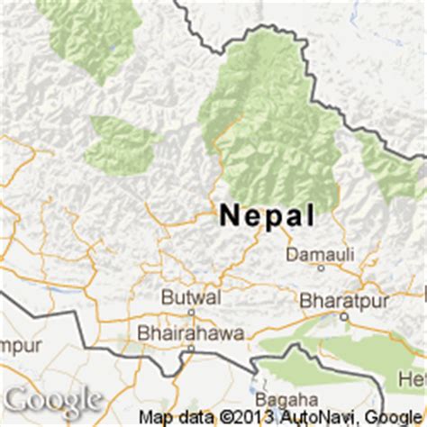
Location: Bāglung, Nepal
Administration Region:
Population: 29360
ISO2 Code:
ISO3 Code: NPL
Location Type:
Latitude: 28.2667
Longitude: 83.6
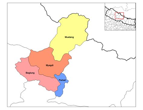
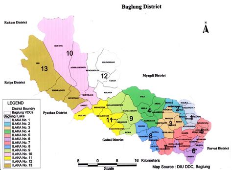
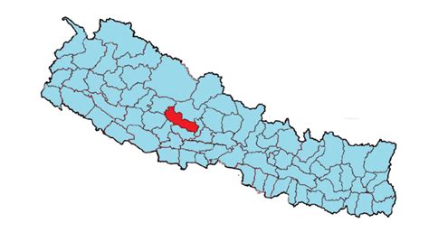
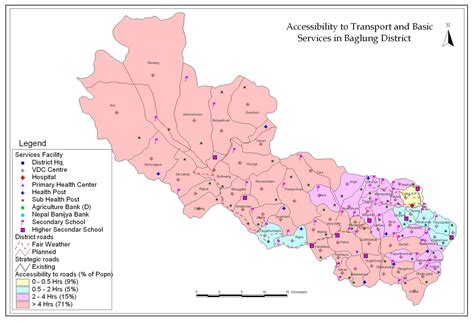
Baglung is a municipality in Gandaki Province, in western Nepal, 275 km (171 mi) west of Kathmandu. It is the administrative headquarters of Baglung District. Baglung serves as the major center for business, finance, education, service and healthcare for the people of mid-Kali Gandaki valley that encompass Beni, Jaljala, Baglung, Kushma, Kathekhola, Galkot, Phalewas and Jaimuni local bodies. The city is located at the cross-section of Kaligandaki corridor highway and midhill highway that transverse Nepal in north–south and east–west directions respectively.

Top Bāglung HD Maps, Free Download 🗺️
Map
Maps
United States
United States
World Map
China
China
