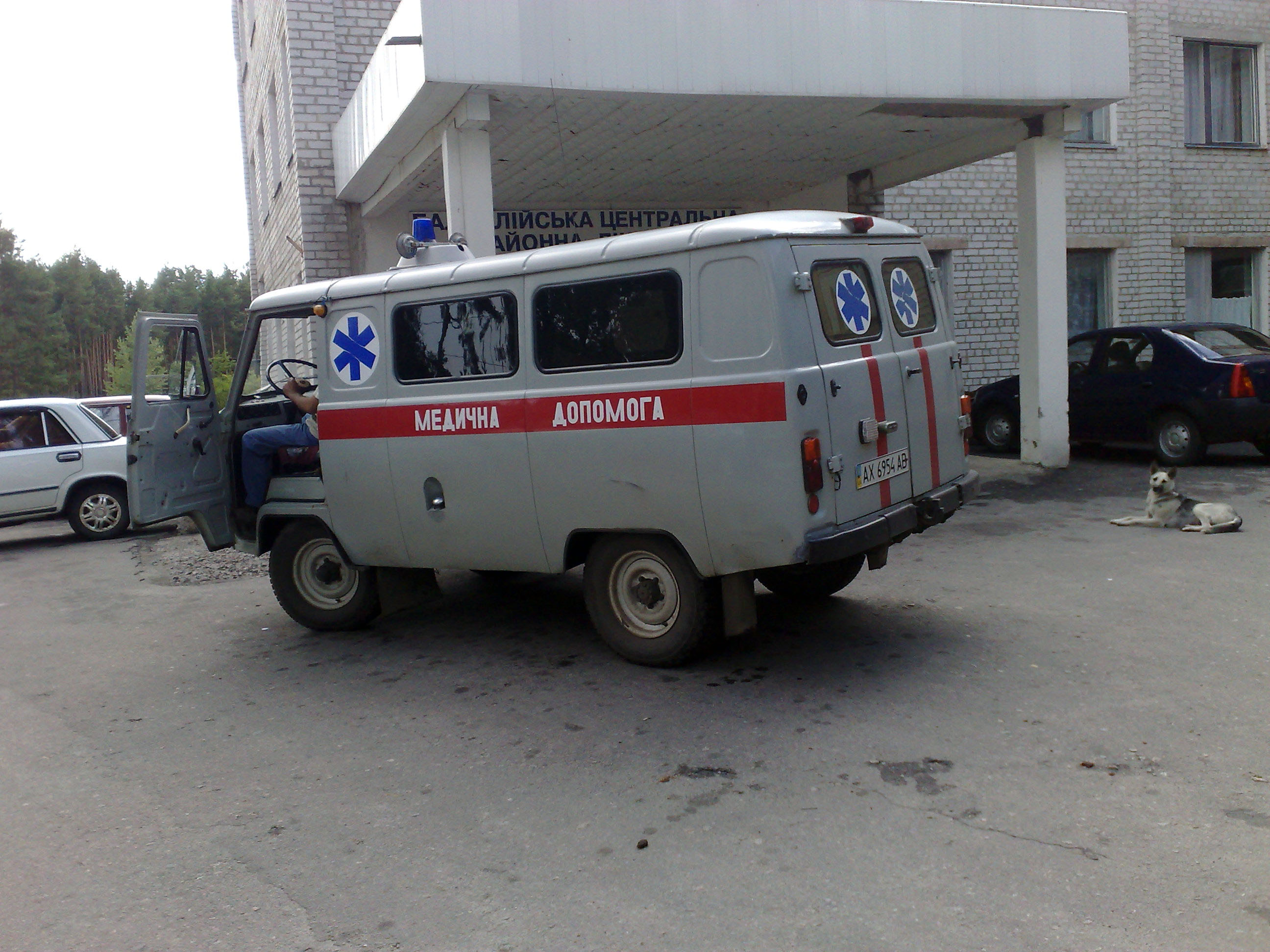
Location: Balakliia 🌎
Location: Balakliia, Ukraine
Administration Region: Kharkivska Oblast
Population: 28868
ISO2 Code: Kharkivska Oblast
ISO3 Code: UKR
Location Type:
Latitude: 49.4658
Longitude: 36.8678
Balakliia or Balakliya (Ukrainian: Балаклія, IPA: [bɐlɐˈkl⁽ʲ⁾ijɐ] ) is a town in the Izium Raion, Kharkiv Oblast, eastern Ukraine, on the north-east side of the Siverskyi Donets river close to where it is joined by the Balakliika river which runs through the town. It is an important railroad junction in the oblast. Balakliia hosts the administration of Balakliia urban hromada, one of the hromadas of Ukraine. Population: 26,334 (2022 est.).

Top Balakliia HD Maps, Free Download 🗺️
Map
Maps
United States
United States
World Map
China
China
