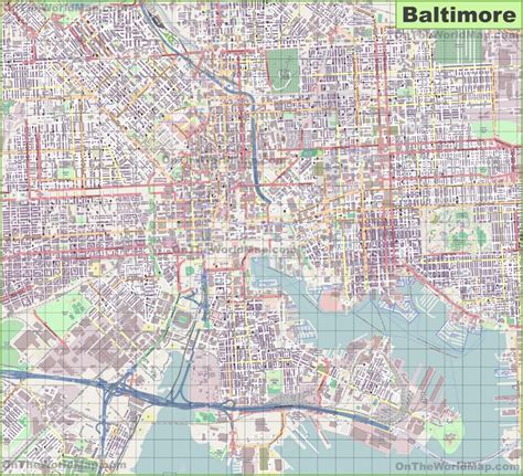
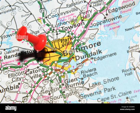
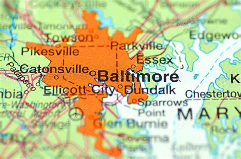
Location: Baltimore 🌎
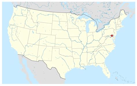
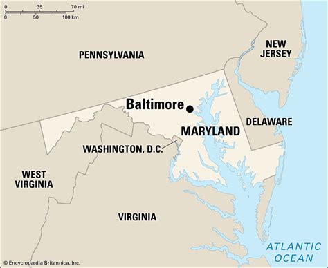
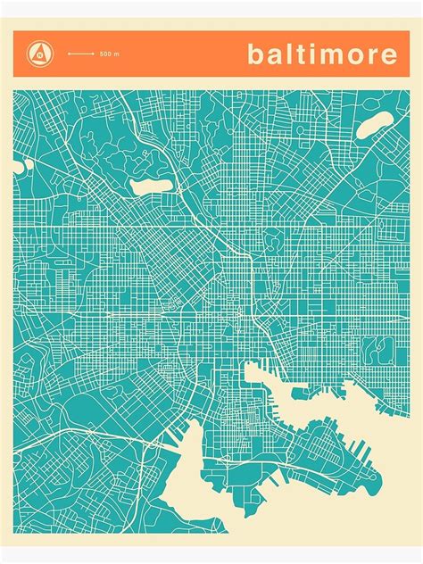
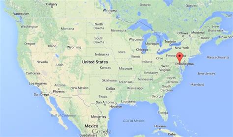
Location: Baltimore, United States
Administration Region: Maryland
Population: 2205092
ISO2 Code: Maryland
ISO3 Code: USA
Location Type:
Latitude: 39.2894
Longitude: -76.6153
Baltimore ( BAWL-tim-or, locally: bawl-da-MOR or BAWL-mər) is the most populous city in the U.S. state of Maryland, the fourth most populous city in the Mid-Atlantic, and the 30th most populous city in the United States with a estimated population of 595,218 in 2023. Baltimore was designated an independent city by the Constitution of Maryland in 1851, and today it is the most populous independent city in the nation. As of 2023, the population of the Baltimore metropolitan area was estimated to be 2,921,051, making it the nation’s 20th largest metropolitan area. Baltimore is located about 40 miles (64 km) north northeast of Washington, D.C., making it a principal city in the Washington–Baltimore combined statistical area (CSA), the third-largest CSA in the nation, with a 2023 estimated population of 10,042,122.Prior to European colonization, the Baltimore region was used as hunting grounds by the Susquehannock Native Americans, who were primarily settled further northwest than where the city was later built. Colonists from the Province of Maryland established the Port of Baltimore in 1706 to support the tobacco trade with Europe, and established the Town of Baltimore in 1729. The first printing press and newspapers were introduced to Baltimore by Nicholas Hasselbach and William Goddard respectively, in the mid-18th century.
The Battle of Baltimore was a pivotal engagement during the War of 1812, culminating in the failed British bombardment of Fort McHenry, during which Francis Scott Key wrote a poem that would become “The Star-Spangled Banner”, which was eventually designated as the American national anthem in 1931. During the Pratt Street Riot of 1861, the city was the site of some of the earliest violence associated with the American Civil War.
The Baltimore and Ohio Railroad, the oldest railroad in the United States, was built in 1830 and cemented Baltimore’s status as a major transportation hub, giving producers in the Midwest and Appalachia access to the city’s port. Baltimore’s Inner Harbor was once the second leading port of entry for immigrants to the United States. In addition, Baltimore was a major manufacturing center. After a decline in major manufacturing, heavy industry, and restructuring of the rail industry, Baltimore has shifted to a service-oriented economy. Johns Hopkins Hospital and Johns Hopkins University are the city’s top two employers. Baltimore and its surrounding region are home to the headquarters of a number of major organizations and government agencies, including the NAACP, ABET, the National Federation of the Blind, Catholic Relief Services, the Annie E. Casey Foundation, World Relief, the Centers for Medicare & Medicaid Services, and the Social Security Administration. Baltimore is also home to the Baltimore Orioles of Major League Baseball and the Baltimore Ravens of the National Football League.
Many of Baltimore’s neighborhoods have rich histories. The city is home to some of the earliest National Register Historic Districts in the nation, including Fell’s Point, Federal Hill, and Mount Vernon. These were added to the National Register between 1969 and 1971, soon after historic preservation legislation was passed. Baltimore has more public statues and monuments per capita than any other city in the country. Nearly one third of the city’s buildings (over 65,000) are designated as historic in the National Register, which is more than any other U.S. city. Baltimore has 66 National Register Historic Districts and 33 local historic districts. The historical records of the government of Baltimore are located at the Baltimore City Archives.
Top Baltimore HD Maps, Free Download 🗺️
Map
Maps
United States
United States
World Map
China
China
