Location: Bamako 🌎
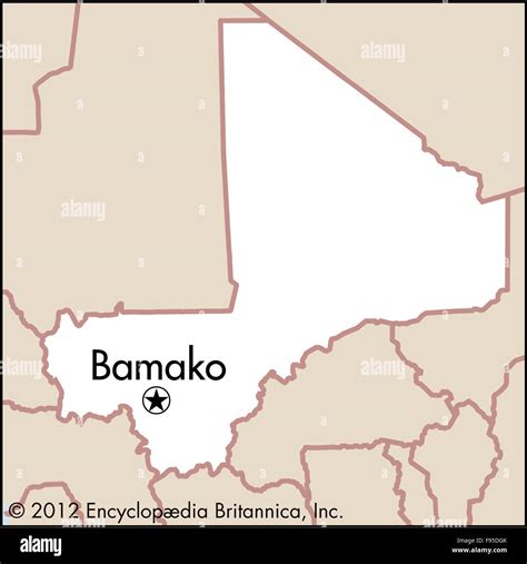
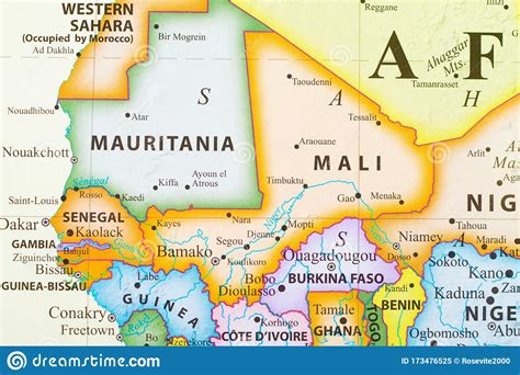
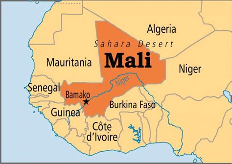
Location: Bamako, Mali
Administration Region: Bamako
Population: 2009109
ISO2 Code: Bamako
ISO3 Code: MLI
Location Type: Primary Capital
Latitude: 12.6392
Longitude: -8.0028
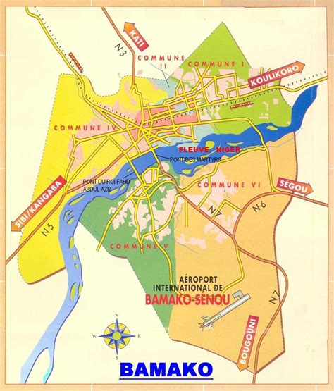
Bamako (Bambara: ߓߡߊ߬ߞߐ߬ Bàmakɔ̌, Fula: Bamako) is the capital and largest city of Mali, with a 2009 population of 1,810,366 and an estimated 2022 population of 2.81 million. It is located on the Niger River, near the rapids that divide the upper and middle Niger valleys in the southwestern part of the country.
Bamako is the nation’s administrative centre. The city proper is a cercle in its own right. Bamako’s river port is located in nearby Koulikoro, along with a major regional trade and conference center. Bamako is the seventh-largest West African urban center after Lagos, Abidjan, Kano, Ibadan, Dakar, and Accra. Locally manufactured goods include textiles, processed meat, and metal goods as well as mining. Commercial fishing occurs on the Niger River.
The name Bamako (ߓߡߊ߬ߞߐ߬ Bàmakɔ̌ in Bambara) comes from the Bambara word meaning “crocodile river”.

Top Bamako HD Maps, Free Download 🗺️
Map
Maps
United States
United States
World Map
China
China


