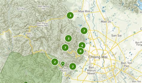
Location: Ban Doi Suthep 🌎
Location: Ban Doi Suthep, Thailand
Administration Region: Chiang Mai
Population: 36952
ISO2 Code: Chiang Mai
ISO3 Code: THA
Location Type:
Latitude: 18.8128
Longitude: 98.8936
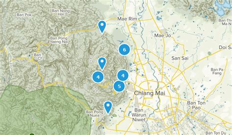
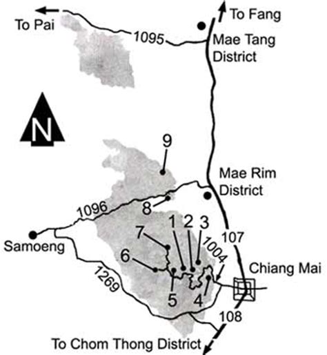
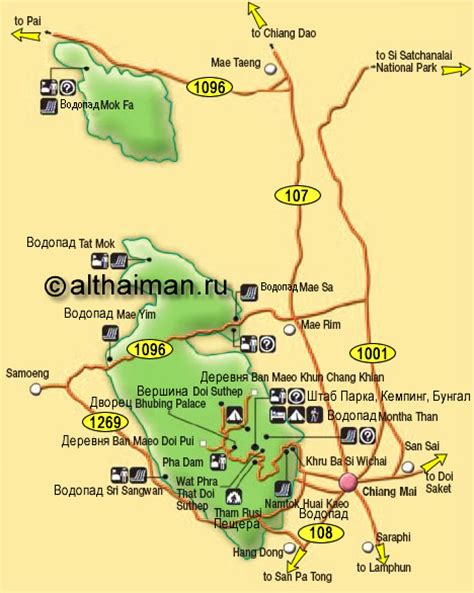
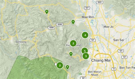
Doi Suthep (ดอยสุเทพ), is a mountain (“doi”) west of Chiang Mai, Thailand. It is 1,676 metres (5,499 ft) in elevation and is one of the twin peaks of a granite mountain. The other peak is known as Doi Pui and is slightly higher (1,685 metres (5,528 ft)).
Doi Suthep is 15 kilometres (9.3 mi) from Chiang Mai city centre. The vegetation below 1,000 metres (3,281 ft) is mostly deciduous forest, with evergreen forest above this elevation.
Top Ban Doi Suthep HD Maps, Free Download 🗺️
Map
Maps
United States
United States
World Map
China
China
