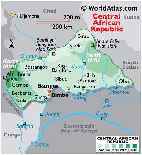
Location: Bangui 🌎
Location: Bangui, Central African Republic
Administration Region: Bangui
Population: 889231
ISO2 Code: Bangui
ISO3 Code: CAF
Location Type: Primary Capital
Latitude: 4.3733
Longitude: 18.5628
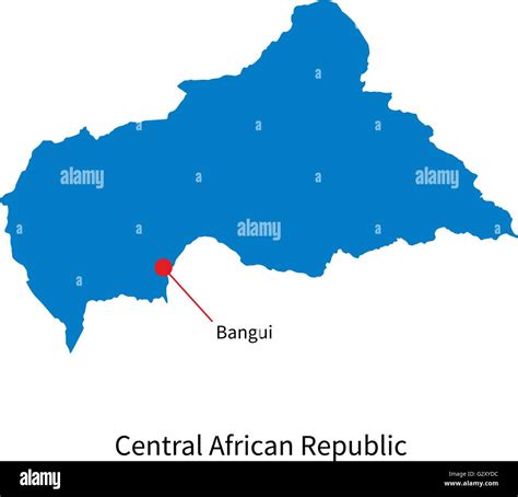
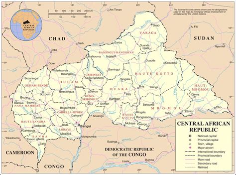
Bangui (French pronunciation: [bɑ̃ɡi]) (or Bangî in Sango, formerly written Bangi in English) is the capital and largest city of the Central African Republic. It was established as a French outpost in 1889 and named after its location on the northern bank of the Ubangi River (French: Oubangui); the Ubangi itself was named from the Bobangi word for the “rapids” located beside the settlement, which marked the end of navigable water north from Brazzaville. The majority of the population of the Central African Republic lives in the western parts of the country, in Bangui and the surrounding area.
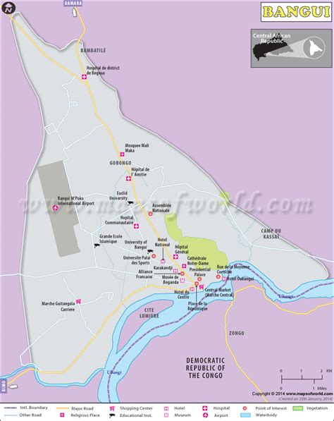
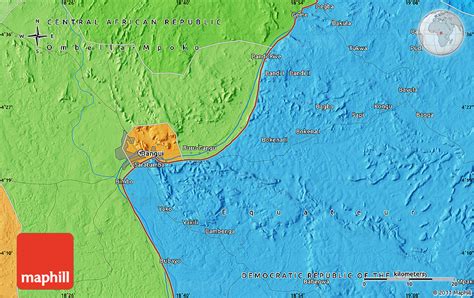
The city forms an autonomous commune (commune autonome) of the Central African Republic which is surrounded by the Ombella-M’Poko prefecture. With an area of 67 square kilometres (26 sq mi), the commune is the smallest high-level administrative division in the country, but the highest in terms of population. As of 2020 it had an estimated population of 889,231.
The city consists of eight urban districts (arrondissements), 16 groups (groupements) and 205 neighbourhoods (quartiers). As the capital of the Central African Republic, Bangui acts as an administrative, trade, and commercial centre. The National Assembly, government buildings, banks, foreign enterprises and embassies, hospitals, hotels, main markets and the Ngaragba Central Prison are all located here. Bangui manufactures textiles, food products, beer, shoes and soap. Its Notre-Dame Cathedral is the seat of the Roman Catholic Archdiocese of Bangui. The city is also home to the University of Bangui, inaugurated in 1970. It is also served by the Bangui M’Poko International Airport.

Top Bangui HD Maps, Free Download 🗺️
Map
Maps
United States
United States
World Map
China
China
