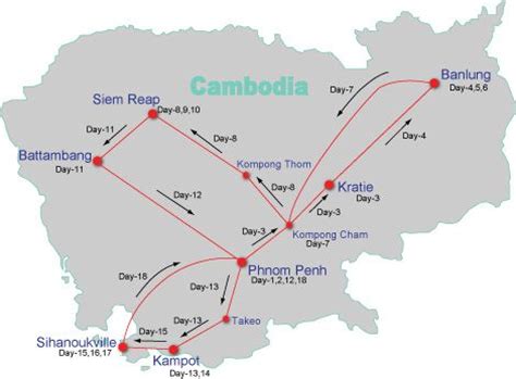
Location: Banlung 🌎
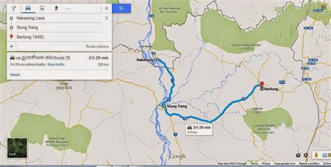
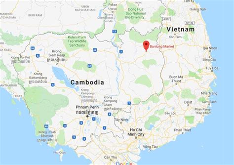
Location: Banlung, Cambodia
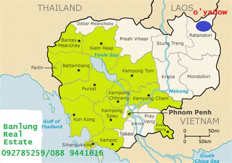
Administration Region: Ratanakiri
Population: 30399
ISO2 Code: Ratanakiri
ISO3 Code: KHM
Location Type: First-level Admin Capital
Latitude: 13.7468
Longitude: 107.0045
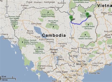
Banlung (Khmer: បានលុង, Banlŭng [ɓaːnluŋ]) is the capital of Ratanakiri Province in northeastern Cambodia, and is 636 kilometres from the Cambodian capital of Phnom Penh. Ratanakiri Province borders Vietnam and Laos. Banlung had been previously known as Banlung district before it officially gained town status. The town has a population of around 17,000 and the surrounding district has a population of 23,888.
The town became the capital of Ratanakiri Province in 1979, following the fall of the Khmer Rouge. The capital was moved from Veun Sai to Banlung in order to facilitate trade with Vietnam (prior to Veun Sai, the capital was Lumphat). Prior to 1979, Banlung was known as Labansiek.It is a relatively lively commercial centre; people from surrounding villages often come to the town market to sell their goods.Three kilometres west of Banlung are the Katieng Waterfalls, where Ratnakiri’s last elephants are covered by a conservation programme operated by the Airavata Elephant Foundation.
Top Banlung HD Maps, Free Download 🗺️
Map
Maps
United States
United States
World Map
China
China
