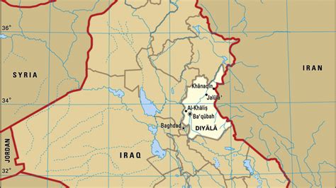
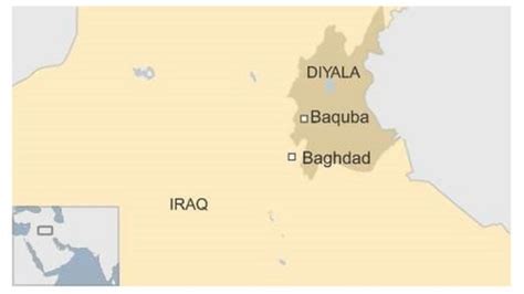
Location: Ba‘qūbah 🌎
Location: Ba‘qūbah, Iraq
Administration Region: Diyālá
Population: 467900
ISO2 Code: Diyālá
ISO3 Code: IRQ
Location Type: First-level Admin Capital
Latitude: 33.75
Longitude: 44.6333
Baqubah (Arabic: بَعْقُوبَة; BGN: Ba‘qūbah; also spelled Baquba and Baqouba) is the capital of Iraq’s Diyala Governorate. The city is located some 50 km (31 mi) to the northeast of Baghdad, on the Diyala River. In 2003 it had an estimated population of some 467,900 people.
Baqubah served as a way station between Baghdad and Khorasan on the medieval Khorasan Road. During the Abbasid Caliphate, it was known for its date and fruit orchards, irrigated by the Nahrawan Canal. It is now known as the centre of Iraq’s commercial orange groves.
Top Ba‘qūbah HD Maps, Free Download 🗺️
Map
Maps
United States
United States
World Map
China
China

