Location: Barbacoas 🌎
Location: Barbacoas, Colombia
Administration Region: Nariño
Population: 38708
ISO2 Code: Nariño
ISO3 Code: COL
Location Type: Lower-level Admin Capital
Latitude: 1.6717
Longitude: -78.1397
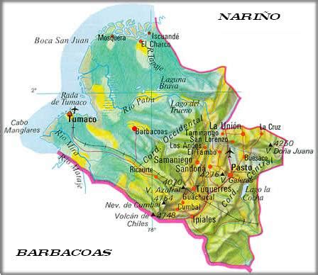
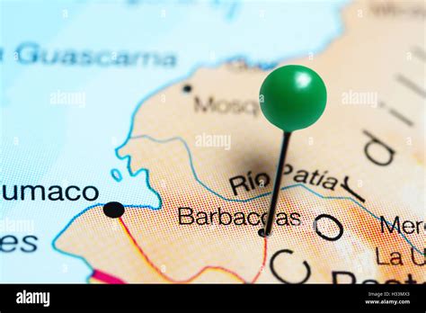
Barbacoas is a town and municipality in Nariño Department, Colombia. The urban centre of Barbacoas is located at an altitude of 36 metres (118 ft) and the municipality borders Magüí Payán in the north, Magüí Payán, Cumbitara, Los Andes, La Llanada, Samaniego and Ricaurte in the east, Ricaurte and Ecuador in the south and Tumaco and Roberto Payán in the west.
Top Barbacoas HD Maps, Free Download 🗺️
Map
Maps
United States
United States
World Map
China
China


