Location: Barr Eliâs 🌎
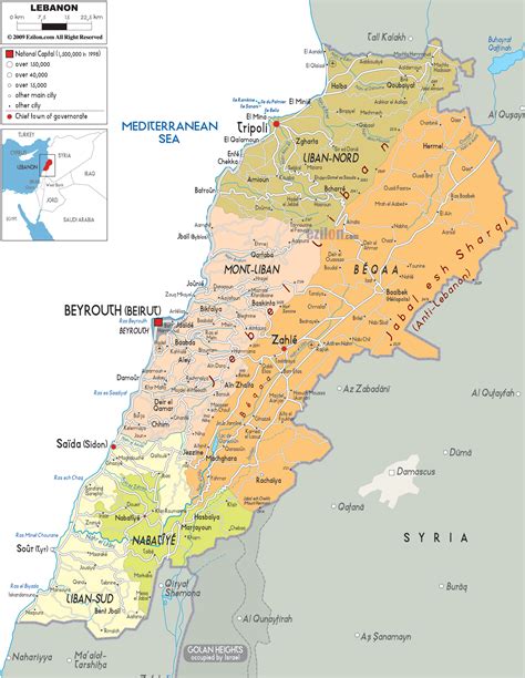
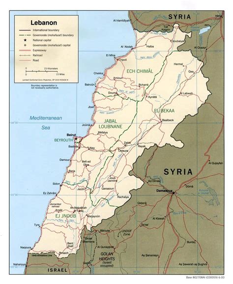
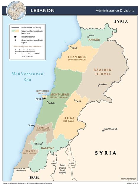
Location: Barr Eliâs, Lebanon
Administration Region: Béqaa
Population: 40000
ISO2 Code: Béqaa
ISO3 Code: LBN
Location Type:
Latitude: 33.8333
Longitude: 35.8333
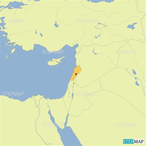
Lebanon ( LEB-ə-non, -nən; Arabic: لُبْنَان, romanized: lubnān, Lebanese Arabic pronunciation: [lɪbˈneːn]; French: Liban), officially the Republic of Lebanon (Arabic: الجمهورية اللبنانية) or the Lebanese Republic, is a country in Western Asia. It is located between Syria to the north and east and Israel to the south, while Cyprus lies to its west across the Mediterranean Sea; its location at the crossroads of the Mediterranean Basin and the Arabian hinterland has contributed to its rich history and shaped a cultural identity of religious diversity. It is part of the Levant region of the Middle East. Lebanon is home to more than five million people and covers an area of 10,452 square kilometres (4,036 sq mi), making it the second-smallest country in continental Asia. The official language of the state is Arabic, while French is also formally recognized; Lebanese Arabic is used alongside Modern Standard Arabic throughout the country.
The earliest evidence of civilization in Lebanon dates back to 5,000 BCE. From c. 3200–539 BC, it was home to the flourishing Phoenician civilization before being annexed by various Near Eastern empires. In 64 BC, the Roman Empire conquered the region, and the region became a major center for Christianity under the Byzantine Empire. In the 7th century, the Muslim conquest of the Levant established caliphal rule. The 11th century saw the start of the Crusades and the establishment of Crusader States in the region only for it to be later reclaimed by the Ayyubids and Mamluks before being ceded to the Ottoman Empire in the 16th century. Under Sultan Abdulmejid I, the first Lebanese protostate took form in the 19th century as the Mount Lebanon Mutasarrifate, created as a home for the Maronite Christians under the Tanzimat reforms.
Following the Ottoman Empire’s collapse after World War I, the five Ottoman provinces constituting modern-day Lebanon came under the French Mandate for Syria and the Lebanon, under which its French-ruled predecessor state of Greater Lebanon was established. Following the invasion and occupation of the French Third Republic by Nazi Germany during World War II, French rule over the region weakened. Upon gaining its independence from Free France in 1943, Lebanon established a unique confessionalist form of government, with the state’s major religious sects being apportioned specific political powers. Lebanon initially was relatively stable. This stability was short-lived and was ultimately shattered by the outbreak of large-scale fighting in the Lebanese Civil War (1975–1990) between various political and sectarian factions. During this period, Lebanon was also subjected to overlapping foreign military occupations by Syria from 1976 to 2005 and by Israel from 1985 to 2000. Since the end of the war, there have been extensive efforts to revive the economy and rebuild national infrastructure.Lebanon is a developing country, ranking 112th on the Human Development Index. It has been classified as an upper middle income state. However, the Lebanese liquidity crisis, corruption as well as recent events have precipitated the collapse of currency, political instability, widespread shortages, high unemployment and poverty. The World Bank defined the economic crisis in Lebanon as one of the worst in the world since the 19th century. Despite the country’s small size, Lebanese culture is renowned both in the Middle East and globally, primarily powered by its extensive diaspora. Lebanon is a founding member of the United Nations and the Arab League, and a member of the Non-Aligned Movement, the Organization of Islamic Cooperation, and the Organisation internationale de la Francophonie.

Top Barr Eliâs HD Maps, Free Download 🗺️
Map
Maps
United States
United States
World Map
China
China


