Location: Barranquilla 🌎
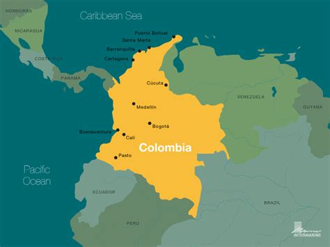
Location: Barranquilla, Colombia
Administration Region: Atlántico
Population: 1326588
ISO2 Code: Atlántico
ISO3 Code: COL
Location Type: First-level Admin Capital
Latitude: 10.9833
Longitude: -74.8019
Barranquilla (Spanish pronunciation: [baraŋˈkiʝa] ) is the capital district of Atlántico Department in Colombia. It is located near the Caribbean Sea and is the largest city and third port in the Caribbean Coast region; as of 2018 it had a population of 1,206,319, making it Colombia’s fourth-most populous city after Bogotá, Medellín, and Cali.
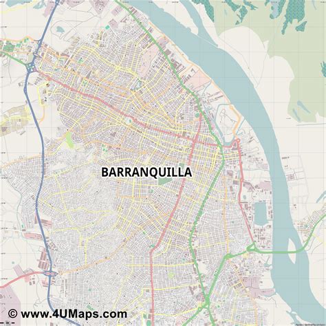
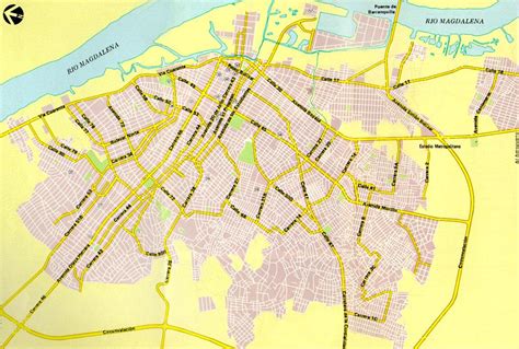
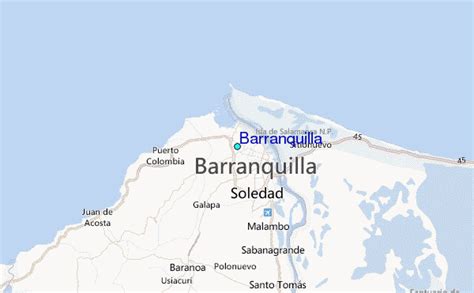
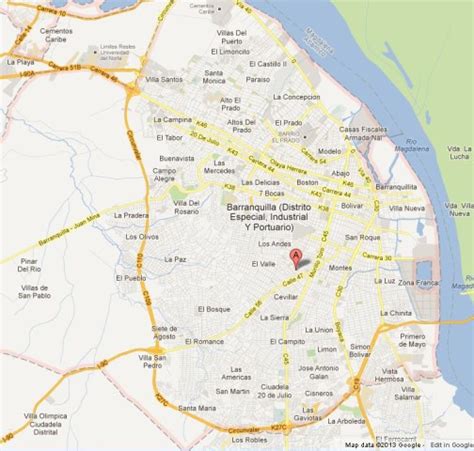
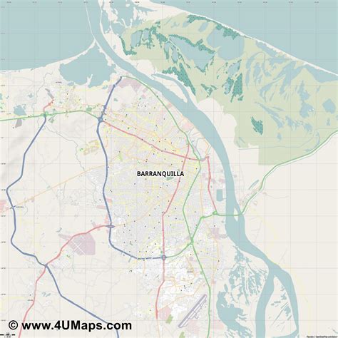
Barranquilla lies strategically next to the delta of the Magdalena River, 7.5 km (4.7 mi) (originally 25 km (16 mi) before rapid urban growth) from its mouth at the Caribbean Sea, serving as a port for river and maritime transportation within Colombia. It is also the main economic center of Atlántico department in Colombia. The city is the core of the Metropolitan Area of Barranquilla, with a population of over 2 million, which also includes the municipalities of Soledad, Galapa, Malambo, and Puerto Colombia.
Barranquilla was legally established as a town on April 7, 1813, although it dates from at least 1629. It grew into an important port, serving as a haven for immigrants from Europe, especially during and immediately following World War I and World War II, when waves of additional immigrants from the Middle East and Asia arrived. Barranquilla became Colombia’s main port, and with its level of industrialization and modernity earned the nickname “Colombia’s Golden Gate” (Spanish: La Puerta de Oro de Colombia). In the 1940s, Barranquilla was the second-largest city in Colombia and one of the most modern cities in the Caribbean and in South America; later local administrations, due to widespread corruption in their ranks, brought about a decline in the standard of living. As government investment increased in other Colombian cities, Barranquilla’s national position was eclipsed.
Barranquilla has hosted the 2018 Central American and Caribbean Games and will host the 2027 Pan American Games. The city is home to one of the most important folk and cultural festivals of Colombia, the Carnival of Barranquilla, which was declared a National Cultural Heritage by the Congress of Colombia in 2001 and recognized by UNESCO in 2003.Ernesto Cortissoz International Airport, built in Barranquilla in 1919, was the first airport in South America. The city is served by domestic and international flights and was Avianca’s first hub.

Top Barranquilla HD Maps, Free Download 🗺️
Map
Maps
United States
United States
World Map
China
China
