Location: Batangas 🌎
Location: Batangas, Philippines
Administration Region: Batangas
Population: 351437
ISO2 Code: Batangas
ISO3 Code: PHL
Location Type: First-level Admin Capital
Latitude: 13.83
Longitude: 121
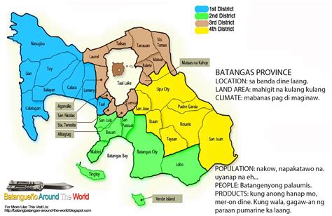
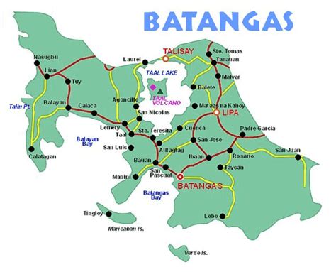
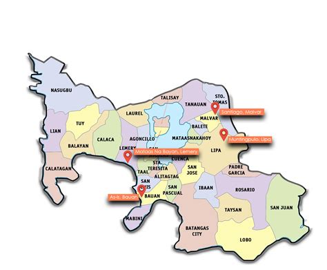
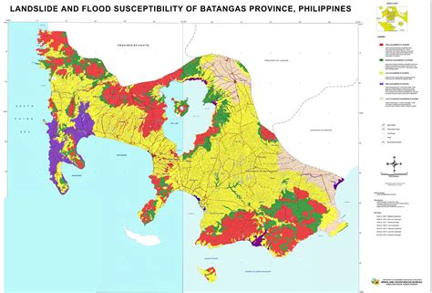
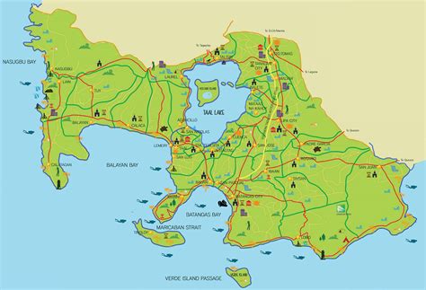
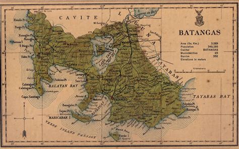
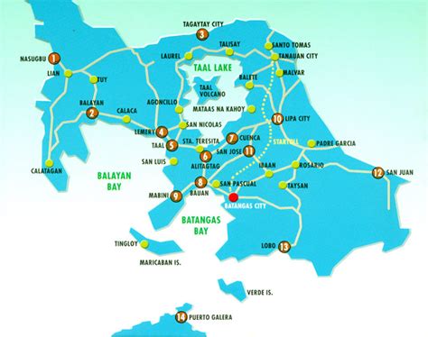
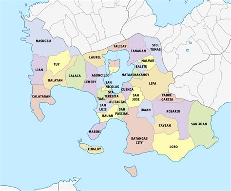
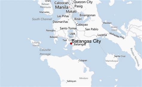
Batangas, officially the Province of Batangas (Tagalog: Lalawigan ng Batangas IPA: [bɐˈtaŋgas]), is a province in the Philippines located in the Calabarzon region on Luzon. Its capital is the city of Batangas, and is bordered by the provinces of Cavite and Laguna to the north, and Quezon to the east. Across the Verde Island Passages to the south is the island of Mindoro and to the west lies the South China Sea. Poetically, Batangas is often referred to by its ancient name Kumintáng.
The province of Batangas was billed as the second richest province in the Philippines by the Commission on Audit by year 2020. It has been the second richest province in the country for two consecutive years. In 2020, its provincial government posted a record high of ₱25.2 billion worth of assets, the largest in Calabarzon and the whole Luzon.
Batangas is one of the most popular tourist destinations near Metro Manila. It is home to the well-known Taal Volcano, one of the Decade Volcanoes, and Taal Heritage town, a small town that has ancestral houses and structures dating back to the 19th century. The province also has numerous beaches and diving spots including Anilao in Mabini, Sombrero Island in Tingloy, Ligpo Island and Sampaguita Beach in Bauan, Matabungkay in Lian, Punta Fuego in Nasugbu, Calatagan and Laiya in San Juan. All of the marine waters of the province are part of the Verde Island Passage, the center of the center of world’s marine biodiversity.
Batangas City has the second largest international seaport in the Philippines after Metro Manila. The identification of the city as an industrial growth center in the region and being the focal point of the Calabarzon program is seen in the increasing number of business establishments in the city’s Central Business District (CBD) as well as numerous industries operating in the province’s industrial parks. Lipa City has passed Batangas city as the most populous city in the province.

Top Batangas HD Maps, Free Download 🗺️
Map
Maps
United States
United States
World Map
China
China
