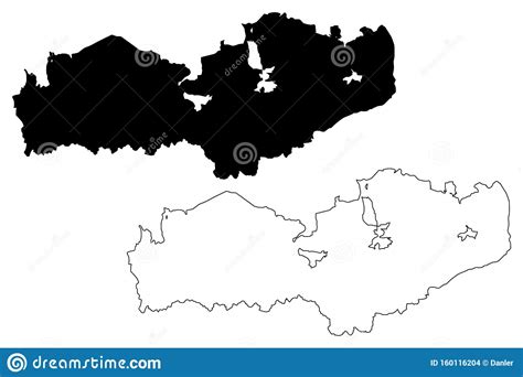
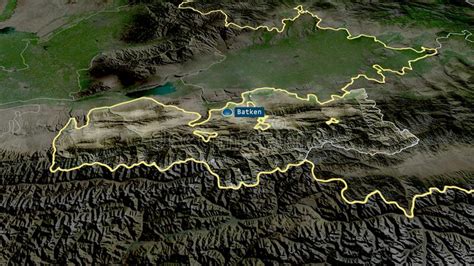
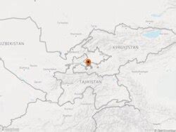
Location: Batken 🌎
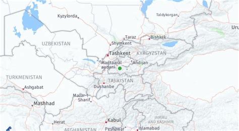
Location: Batken, Kyrgyzstan
Administration Region: Batken
Population: 27730
ISO2 Code: Batken
ISO3 Code: KGZ
Location Type: First-level Admin Capital
Latitude: 40.0667
Longitude: 70.8167
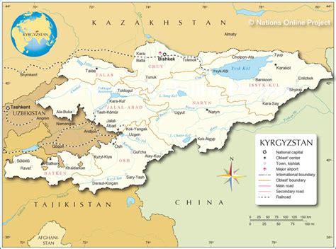
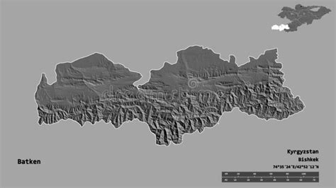
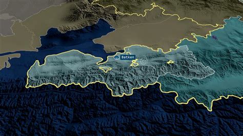
Batken (also called Batkent) is a town in southwestern Kyrgyzstan, on the southern fringe of the Fergana Valley. It is the administrative seat of Batken Region. Since 2000, it is a city of regional significance, i.e. not part of a district. However, it is still the administrative seat of Batken District. Its area is 205 square kilometres (79 sq mi), and its resident population was 27,730 in 2021 (both including the villages Bulak-Bashy, Kyzyl-Jol and Bazar-Bashy). The population of the town proper was 15,805.
Top Batken HD Maps, Free Download 🗺️
Map
Maps
United States
United States
World Map
China
China

