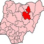
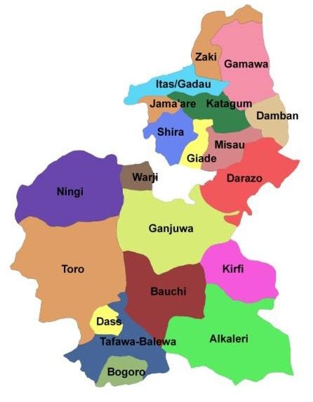
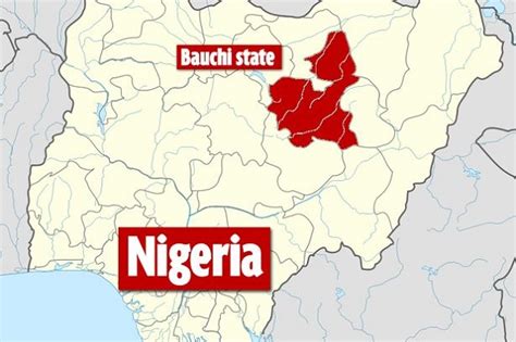
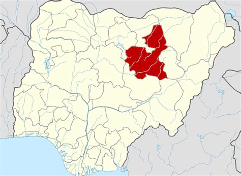
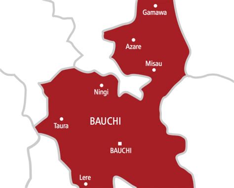
Bauchi State (Fula: Leydi Bauchi ) is a state in the North-East geopolitical zone of Nigeria, bordered by Kano and Jigawa to the north, Taraba and Plateau to the south, Gombe and Yobe to the east, and Kaduna to the west. It takes its name from the historic town of Bauchi, which also serves as its capital city. The state was formed in 1976 when the former North-Eastern State was broken up. It originally included the area that is now Gombe State, which became a distinct state in 1996.
Of the 36 states, Bauchi is the fifth largest in area and seventh most populous with an estimated population of over 6,530,000 as of 2016. Geographically, the state is divided between the West Sudanian savanna in the south and the drier, semi-desert Sahelian savanna in the north with a small part of the montane Jos Plateau in the southwest. A key defining characteristic of the state’s landscape is Yankari National Park, a large wildlife park in southern Bauchi State that contains large populations of waterbuck, African buffalo, patas monkey, hippopotamus, roan antelope, and western hartebeest along with some of Nigeria’s last remaining West African lion, African leopard, and African bush elephant populations.What is now Bauchi State has been inhabited for years by various ethnic groups, including the Bolewa, Butawa, and Warji in the central region; the Fulani, Kanuri, and Karai-Karai in the north; the Fulani and Gerawa in and around the city of Bauchi; the Zaar (Sayawa) in the south; the Tangale in the southeast; and the Jarawa in the southwest. Religiously, the vast majority of the state’s population (~85%) are Muslim with smaller Christian and traditionalist minorities at about 6% and 9%, respectively.In the early 1800s, the Fulani jihad seized much of modern-day Bauchi State and formed the Bauchi Emirate under the Sokoto Caliphate. About 90 years later, a British expedition occupied the Emirate and incorporated it as Bauchi Province into the Northern Nigeria Protectorate which later merged into British Nigeria before becoming independent as Nigeria in 1960. Originally, modern-day Bauchi State was a part of the post-independence Northern Region until 1967 when the region was split and the area became part of the North-Eastern State. After the North-Eastern State was split, Bauchi State was formed on 3 February 1976 alongside ten other states. Twenty years after statehood, a group of LGAs in the state’s west was broken off to form the new Gombe State.
As a major agriculture-based state, the Bauchi State economy partially relies on livestock and crops, such as cotton, groundnuts, millet, tomatoes, and yams with advanced irrigation schemes increasing agricultural production since statehood. Other industries include food processing and canning facilities, tin and columbite mining, and tourism in Yankari National Park and its Wikki Warm Springs.