Location: Beihai 🌎
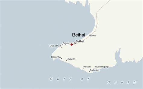
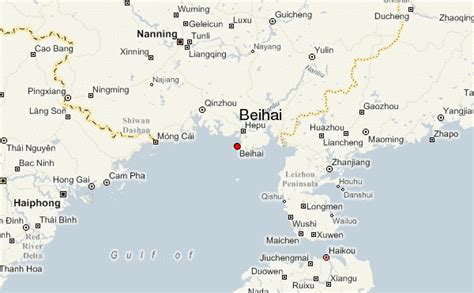
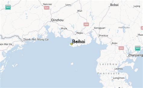
Location: Beihai, China
Administration Region: Guangxi
Population: 1853227
ISO2 Code: Guangxi
ISO3 Code: CHN
Location Type: Lower-level Admin Capital
Latitude: 21.481
Longitude: 109.12
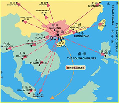
Beihai (Chinese: 北海; pinyin: Běihǎi; Postal romanization: Pakhoi) is a prefecture-level city in the south of Guangxi, People’s Republic of China. Its status as a seaport on the north shore of the Gulf of Tonkin has granted it historical importance as a port of international trade for Guangxi, Hunan, Hubei, Sichuan, Guizhou, and Yunnan. Between the years 2006 and 2020, Beihai is predicted to be the world’s fastest growing city. Beihai has a large shipyard, but most of the money generated in the city is derived from trade.
In addition, it governs the small islands of Weizhou and Xieyang, and is directly west of Leizhou Peninsula.

Top Beihai HD Maps, Free Download 🗺️
Map
Maps
United States
United States
World Map
China
China


