Location: Beldānga 🌎
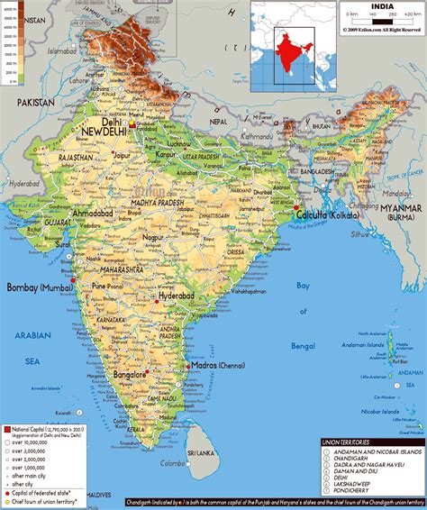
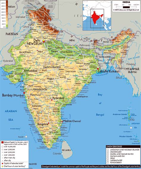
Location: Beldānga, India
Administration Region: West Bengal
Population: 29205
ISO2 Code: West Bengal
ISO3 Code: IND
Location Type:
Latitude: 23.93
Longitude: 88.25
Beldanga is a municipality town under the Barhampur subdivision of Murshidabad district in the state of West Bengal, India. Beldanga is an important trade centre of this district.
Top Beldānga HD Maps, Free Download 🗺️
Map
Maps
United States
United States
World Map
China
China


