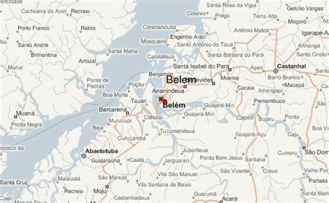
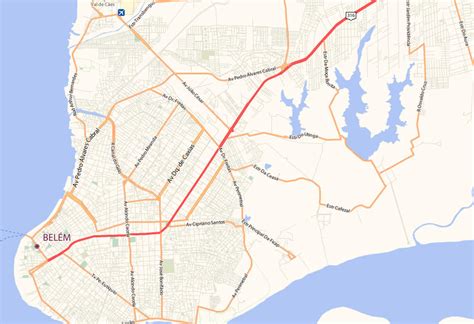
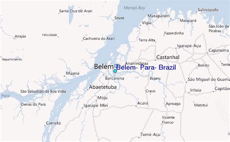
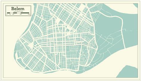
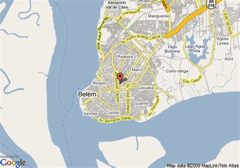
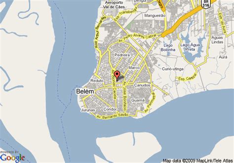
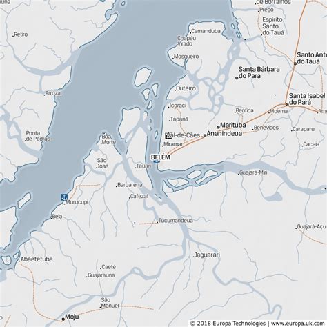
Location: Belém 🌎
Location: Belém, Brazil
Administration Region: Pará
Population: 1499641
ISO2 Code: Pará
ISO3 Code: BRA
Location Type: First-level Admin Capital
Latitude: -1.4558
Longitude: -48.5039
Belém ([beˈlẽj]; Portuguese for Bethlehem; initially called Nossa Senhora de Belém do Grão-Pará, in English Our Lady of Bethlehem of Great Pará) often called Belém of Pará, is a Brazilian city, capital and largest city of the state of Pará in the country’s north. It is the gateway to the Amazon River with a busy port, airport, and bus/coach station. Belém lies approximately 100 km upriver from the Atlantic Ocean, on the Pará River, which is part of the greater Amazon River system, separated from the larger part of the Amazon delta by Ilha de Marajó (Marajo Island). With an estimated population of 1,499,641 people — or 2,491,052, considering its metropolitan area — it is the 11th most populous city in Brazil, as well as the 16th by economic relevance. It is the second largest in the North Region, second only to Manaus, in the state of Amazonas.
Founded in 1616 by the Kingdom of Portugal, Belém was the first European colony on the Amazon but did not become part of Brazil until 1775. The newer part of the city has modern buildings and skyscrapers. The colonial portion retains the charm of tree-filled squares, churches and traditional blue tiles. The city has a rich history and architecture from colonial times. Recently it witnessed a skyscraper boom.
Belém is also known as the Metropolis of the Brazilian Amazon region or the Cidade das Mangueiras (City of Mango Trees) due to the vast number of those trees found in the city. Brazilians often refer to the city as Belém do Pará (“Belém of Pará”) rather than just Belém, a reference to an earlier name for the city, Santa Maria de Belém do Grão Pará (“Saint Mary of Bethlehem of Great Pará”), and also to differentiate it from a number of other towns called Belém in Brazil, as well as the city of Bethlehem in the West Bank of Israel. It is named after Santa Maria de Belém in Lisbon, also better known by its shortened name, Belém.
Belém is served by Val de Cans International Airport, which connects the city with the rest of Brazil and other cities in South America, North America (United States) and Europe (Lisbon). The city is also home to the Federal University of Pará and the Pará State University.

Top Belém HD Maps, Free Download 🗺️
Map
Maps
United States
United States
World Map
China
China

