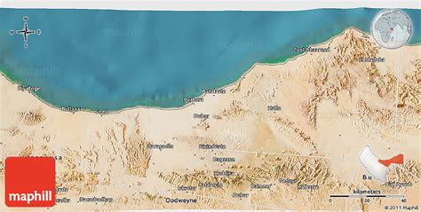
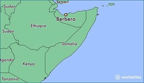
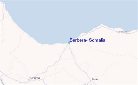
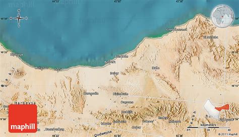
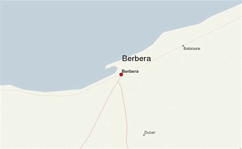
Location: Berbera 🌎
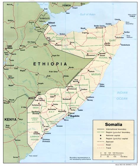
Location: Berbera, Somalia
Administration Region: Woqooyi Galbeed
Population: 478000
ISO2 Code: Woqooyi Galbeed
ISO3 Code: SOM
Location Type:
Latitude: 10.4356
Longitude: 45.0164
Berbera (burr-burr-AH; Somali: Barbara, Arabic: بربرة) is the capital of the Sahil region of Somaliland and is the main sea port of the country. Berbera is a coastal city and was the former capital of the British Somaliland protectorate before Hargeisa. It also served as a major port of the Ifat, Adal and Isaaq sultanates from the 13th to 19th centuries.In antiquity, Berbera was part of a chain of commercial port cities along the Somali seaboard. During the early modern period, Berbera was the most important place of trade in the Somali Peninsula. It later served as the capital of the British Somaliland protectorate from 1884 to 1941, when it was replaced by Hargeisa. In 1960, the British Somaliland protectorate gained independence as the State of Somaliland and united five days later with the Trust Territory of Somalia (the former Italian Somalia) to form the Somali Republic. Located strategically on the oil route, the city has a deep seaport, which serves as the region’s main commercial harbour.

Top Berbera HD Maps, Free Download 🗺️
Map
Maps
United States
United States
World Map
China
China
