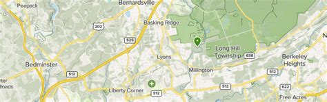
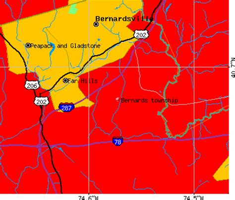
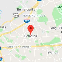
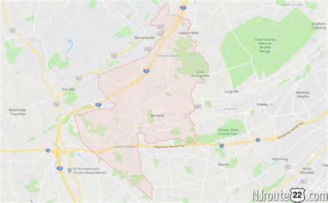
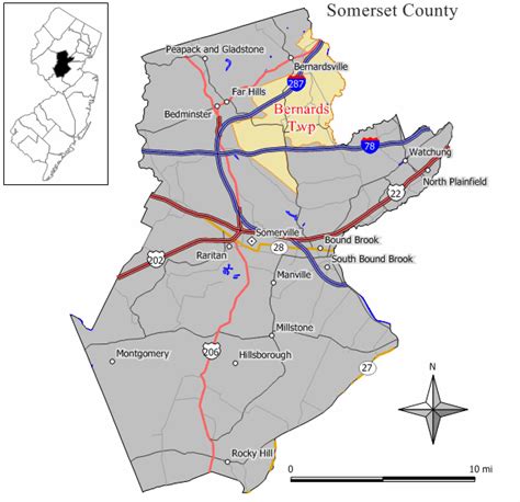
Bernards Township () is a township in Somerset County, in the U.S. state of New Jersey. The township is a bedroom suburb of New York City in the much larger New York metropolitan area, located within the Raritan Valley region. As of the 2020 United States census, the township’s population was 27,830, an increase of 1,178 (+4.4%) from the 2010 census count of 26,652, reflecting an increase of 2,077 (+8.5%) from the 24,575 counted in the 2000 census.Bernards Township was originally formed by royal charter on May 24, 1760, as Bernardston Township from remaining portions of Northern precinct. It was incorporated as Bernards Township by an act of the New Jersey Legislature on February 21, 1798, as one of New Jersey’s initial group of 104 townships. Portions of the township were taken to form Warren Township (March 5, 1806), Far Hills (April 7, 1921) and Bernardsville (March 6, 1924). Bernards Township celebrated its 250th charter anniversary on May 24, 2010.The township was named for Sir Francis Bernard, 1st Baronet, who served as governor of the Province of New Jersey.