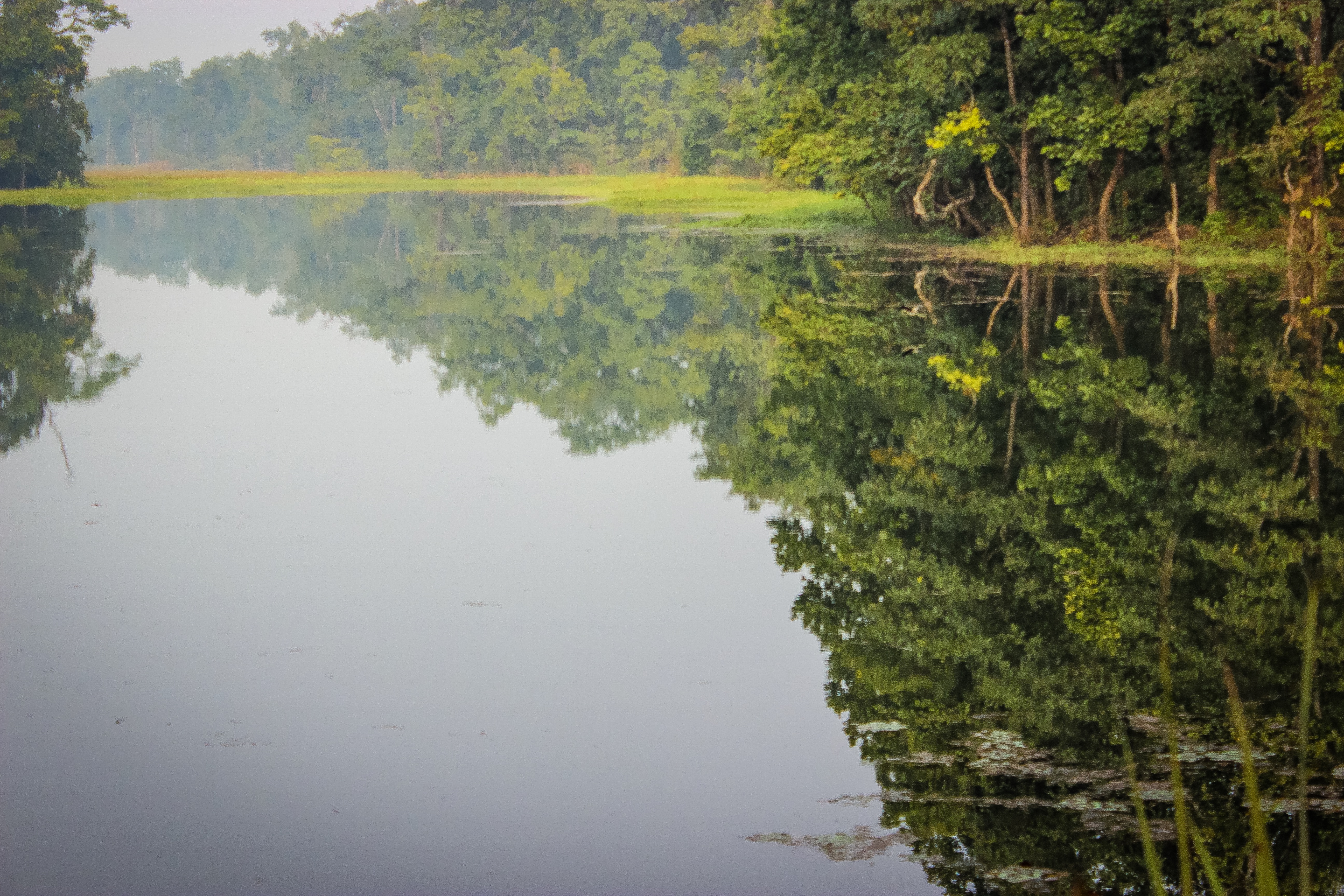
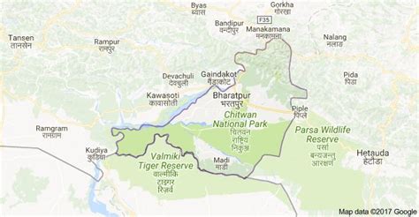
Bharatpur (, Nepali: भरतपुर, pronounced [ˈbʱʌɾʌt̪pur] ) is a city in southern central Nepal. It is the third most populous city of Nepal after Kathmandu and Pokhara with 369,377 inhabitants in 2021. It is also the second largest metropolitan city in Nepal by area. It is the district headquarter of the Chitwan District.Bharatpur is one of the fastest-growing cities in Nepal. It lies on the western bank of the Narayani River and serves as a commercial center of the Chitwan district and the central region of Nepal. Most of the shopping area lies in the area of Narayangadh, while government offices, hospitals and colleges are situated in other parts of the city, including Nepal’s premier cancer hospital, B.P Koirala Memorial Cancer Hospital.
In March 2017, Bharatpur was declared a metropolitan city after Narayani Municipality, Chitrawan Municipality and Kabilas Village were merged into it.