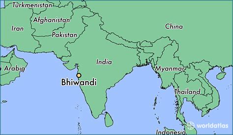
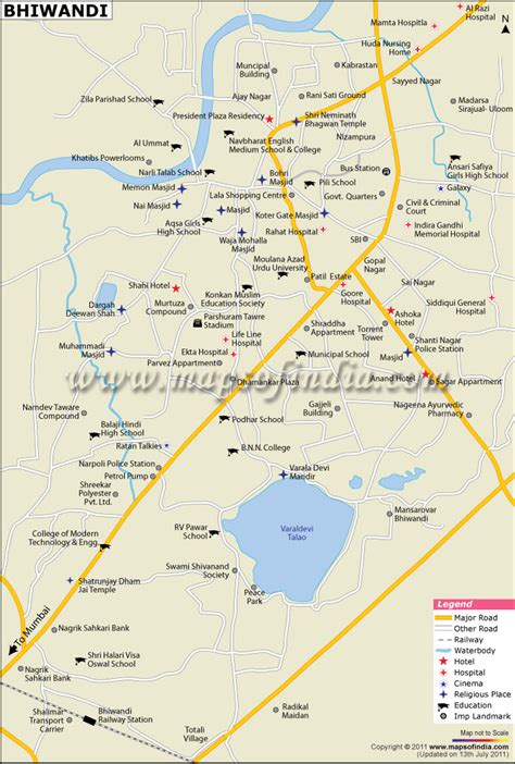
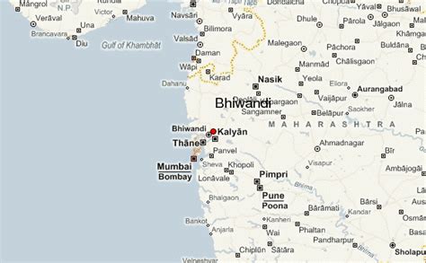
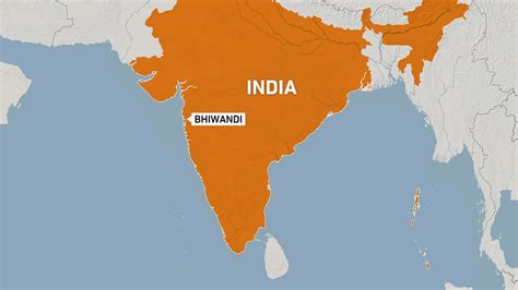
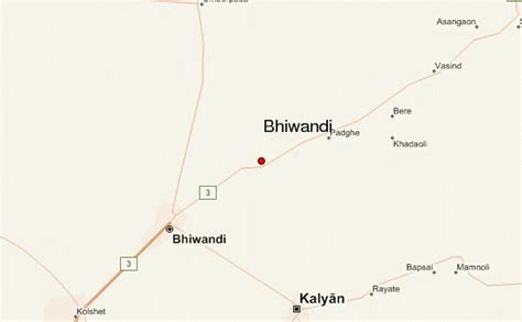
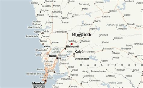
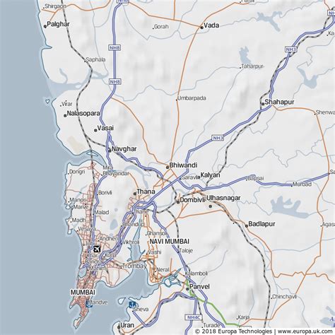
Bhiwandi (pronunciation ) is a city, near Thane city in the Thane district in Maharashtra, India. It is located 20 kilometres (12 mi) northeast of Mumbai and 15 km (9.3 mi) northeast of the city of Thane. The city is a part of the Mumbai Metropolitan Region.
Bhiwandi is a commercial city and a major trade center that connects Mumbai and the rest of India through the Mumbai–Agra highway. It is known for its textile industry, though in recent years, economic downturn has forced the closure of a large portion of the sector.Bhiwandi lies in the Konkan coastal lowland, a region known geographically for its hills and streams. The city houses the tehsil headquarters of Bhiwandi, and it is administered by the Bhiwandi-Nizampur Municipal Corporation. According to the 2021 census, the total population of the Bhiwandi-Nizampur Municipal Corporation area is 874,032.