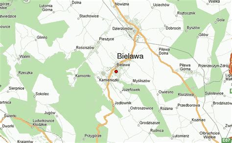
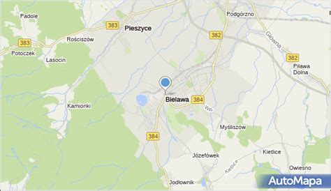
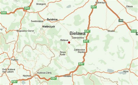
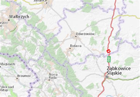
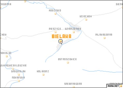
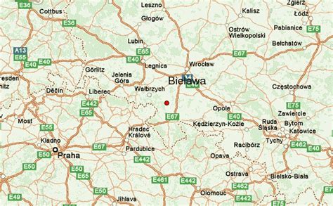
Bielawa [bʲɛˈlava] (German: Langenbielau; Silesian: Bielawa) is a town in southwestern Poland. Since 1999, it has been situated in Dzierżoniów County, Lower Silesian Voivodeship. From 1975 to 1998, it was part of the Wałbrzych Voivodeship. As of December 2021, it has a population of 29,232.Bielawa lies in the central part of Lower Silesia, along the Bielawica stream in the Owl Mountains region. The town covers an area in excess of 36 square kilometres (14 sq mi).
Bielawa lies at an altitude range of 280 and 964 m above sea level, in the Owl Mountains. The town is a year-round tourist destination; its outdoor attractions include four major hiking trails of varying difficulty in an 80 km2 (31 sq mi) park, as well as cycling trails and ski lifts.