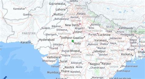
Location: Bindki 🌎
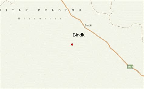
Location: Bindki, India
Administration Region: Uttar Pradesh
Population: 36926
ISO2 Code: Uttar Pradesh
ISO3 Code: IND
Location Type:
Latitude: 26.03
Longitude: 80.6
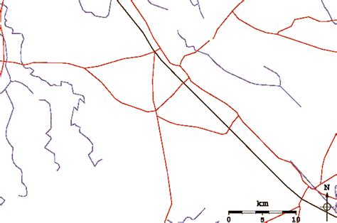
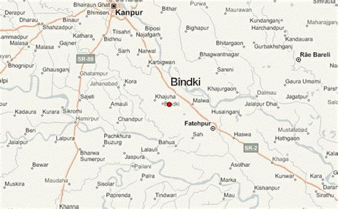
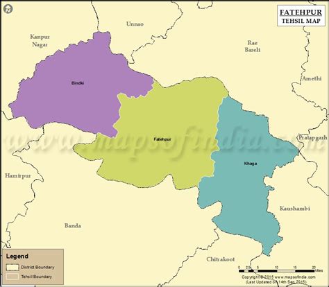
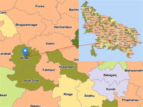
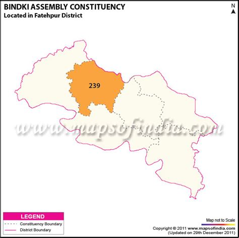
Bindki is a city, sub-district and a municipality in Fatehpur district in the state of Uttar Pradesh, India.It is one of the few Indian towns which has separate markets for different commodities. The markets are Bajaja Gali for clothes, Sarafa Bajar for jewellery, Bartan Bajar for utensils, Kirana Gali for spices, Shoe market for footwears, Fatak Bajar for stationery and books, Najahi Gali for food grains, Ghihai Gali for ghee, etc. Bindki is an assembly constituency and Jaiki Patel from AD(S) is the present MLA. Dayanand Inter College, Nagar Palika Nehru Inter College and Sohan Lal Dwivedi Government Girls Inter College are various inter colleges in this town. ‘Bindki Road’ is the nearest railway station on Delhi Howrah route, 10 km (6.2 mi) away from Bindki.
Top Bindki HD Maps, Free Download 🗺️
Map
Maps
United States
United States
World Map
China
China
