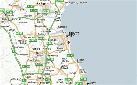
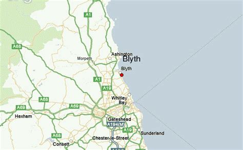
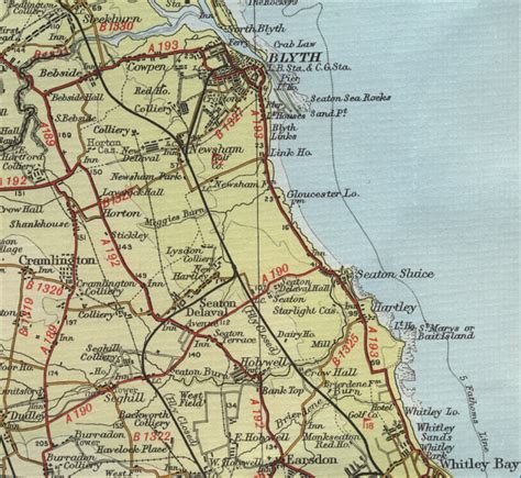
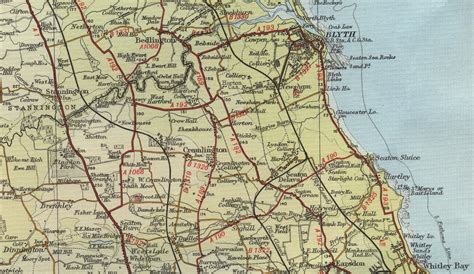
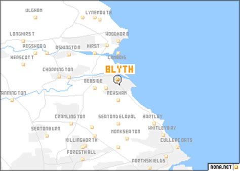
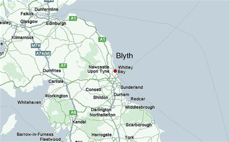
Blyth () is a town and civil parish in southeast Northumberland, England. It lies on the coast, to the south of the River Blyth and is approximately 13 miles (21 km) northeast of Newcastle upon Tyne. It had a population of 37,339 in the 2011 Census.The port of Blyth dates from the 12th century, but the development of the modern town only began in the first quarter of the 18th century. The main industries which helped the town prosper were coal mining and shipbuilding, with the salt trade, fishing and the railways also playing an important role. These industries have largely vanished, but the port still thrives, receiving paper and pulp from Scandinavia for the newspaper industries of England and Scotland.The town was seriously affected when its principal industries went into decline, and it has undergone much regeneration since the early 1990s. The Keel Row Shopping Centre, opened in 1991, brought major high street retailers to Blyth, and helped to revitalise the town centre. The market place has recently been re-developed, with the aim of attracting further investment to the town.
The Quayside has also seen much redevelopment and has been transformed into a peaceful open space, the centrepiece of which is a sculpture commemorating the industry that once thrived there. On the opposite side of the river are the nine wind turbines of the Blyth Harbour Wind Farm, which were constructed along the East Pier in 1992. They were joined in 2000 by Blyth Offshore Wind Farm, which consisted of two turbines situated 1 kilometre (0.62 mi) out to sea. These were the first two offshore wind turbines in the UK. These wind turbines were all decommissioned, with the final two being removed in 2019. A new wind farm further off the coast, composed of five turbines, was commissioned in 2017.
Blyth is also home to the non-League football club Blyth Spartans, famed for their 1978 “giant-killing” feats in the FA Cup.