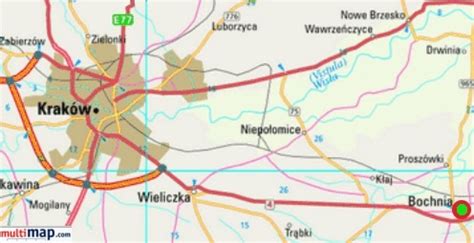
Bochnia [ˈbɔxɲa] is a town on the river Raba in southern Poland, administrative seat of Bochnia County in Lesser Poland Voivodeship. The town lies approximately halfway 38 kilometres (24 mi) between Tarnów (east) and the regional capital Kraków (west). Bochnia is most noted for its salt mine, the oldest functioning in Europe, built in the 13th century, a World Heritage Site and a Historic Monument of Poland.As of December 2021, Bochnia has a population of 29,317 and an area of 29.87 square kilometres (11.53 sq mi).