Location: Bogor 🌎
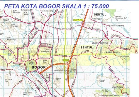
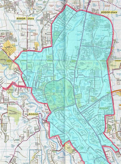
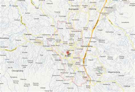
Location: Bogor, Indonesia
Administration Region: Jawa Barat
Population: 1030720
ISO2 Code: Jawa Barat
ISO3 Code: IDN
Location Type:
Latitude: -6.5966
Longitude: 106.7972
Bogor (Sundanese: ᮘᮧᮌᮧᮁ, Dutch: Buitenzorg) is a city in the West Java province, Indonesia. Located around 60 kilometers (37 mi) south of the national capital of Jakarta, Bogor is the 6th largest city in the Jakarta metropolitan area and the 14th overall nationwide. The city covers an area of 118.50 km2, and it had a population of 950,334 in the 2010 Census and 1,043,070 in the 2020 Census. The official estimate for mid 2022 is 1,099,422. Bogor is an important economic, scientific, cultural, and tourist center, as well as a mountain resort.
During the Middle Ages, the city served as the capital of the Sunda Kingdom (Indonesian: Kerajaan Sunda) and was called Pakuan Pajajaran or Dayeuh Pakuan. During the Dutch colonial era, it was named Buitenzorg (“without worries” in Dutch) and served as the summer residence of the Governor-General of the Dutch East Indies.
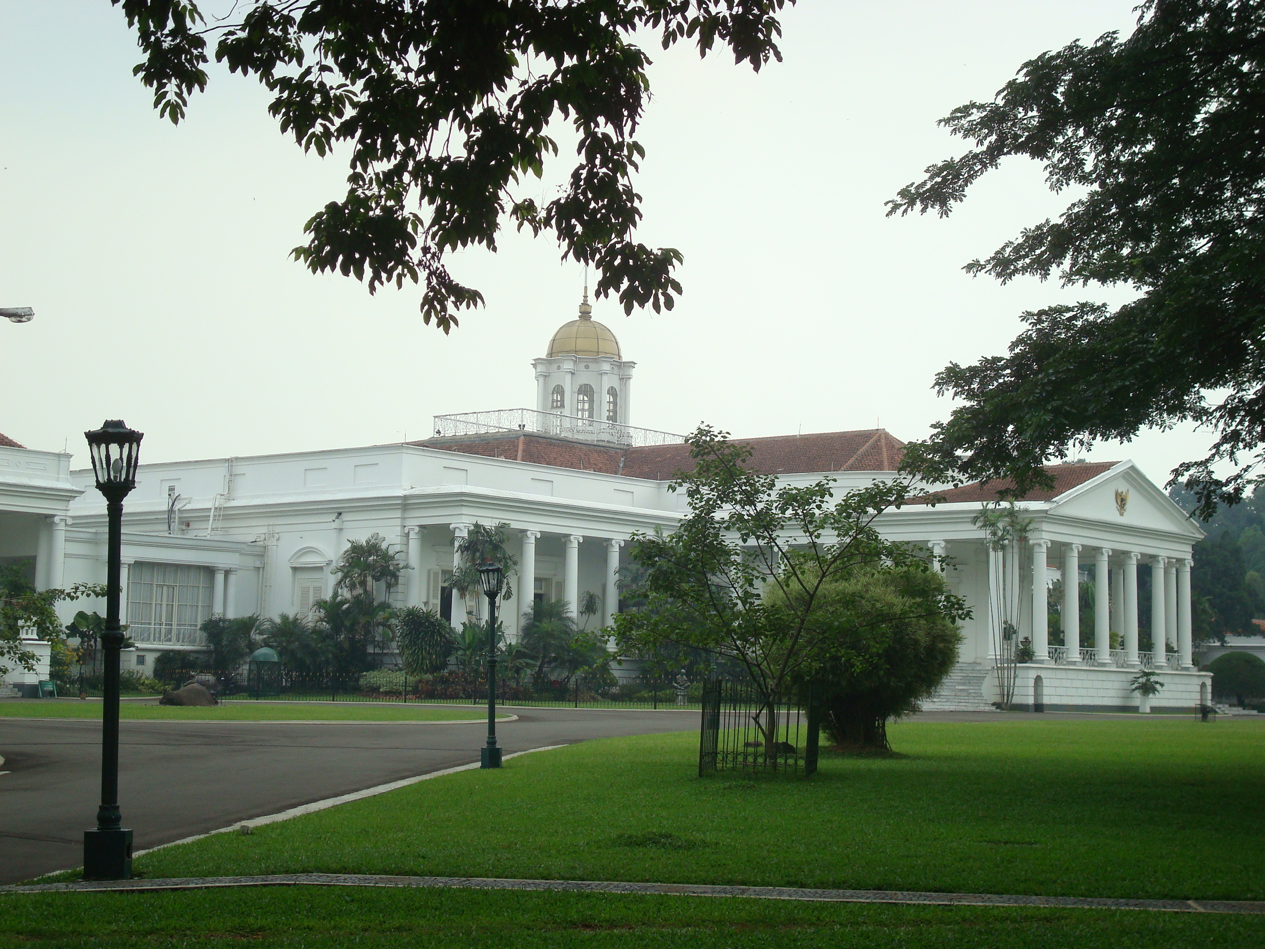
With several hundred thousand people living on an area of about 20 km2 (7.7 sq mi), the central part of Bogor is one of the world’s most densely populated areas. The city has a presidential palace and a botanical garden (Indonesian: Kebun Raya Bogor) – one of the oldest and largest in the world. It bears the nickname “Rainy City” (Kota Hujan), because of frequent rain showers, even during the dry season.

Top Bogor HD Maps, Free Download 🗺️
Map
Maps
United States
United States
World Map
China
China


