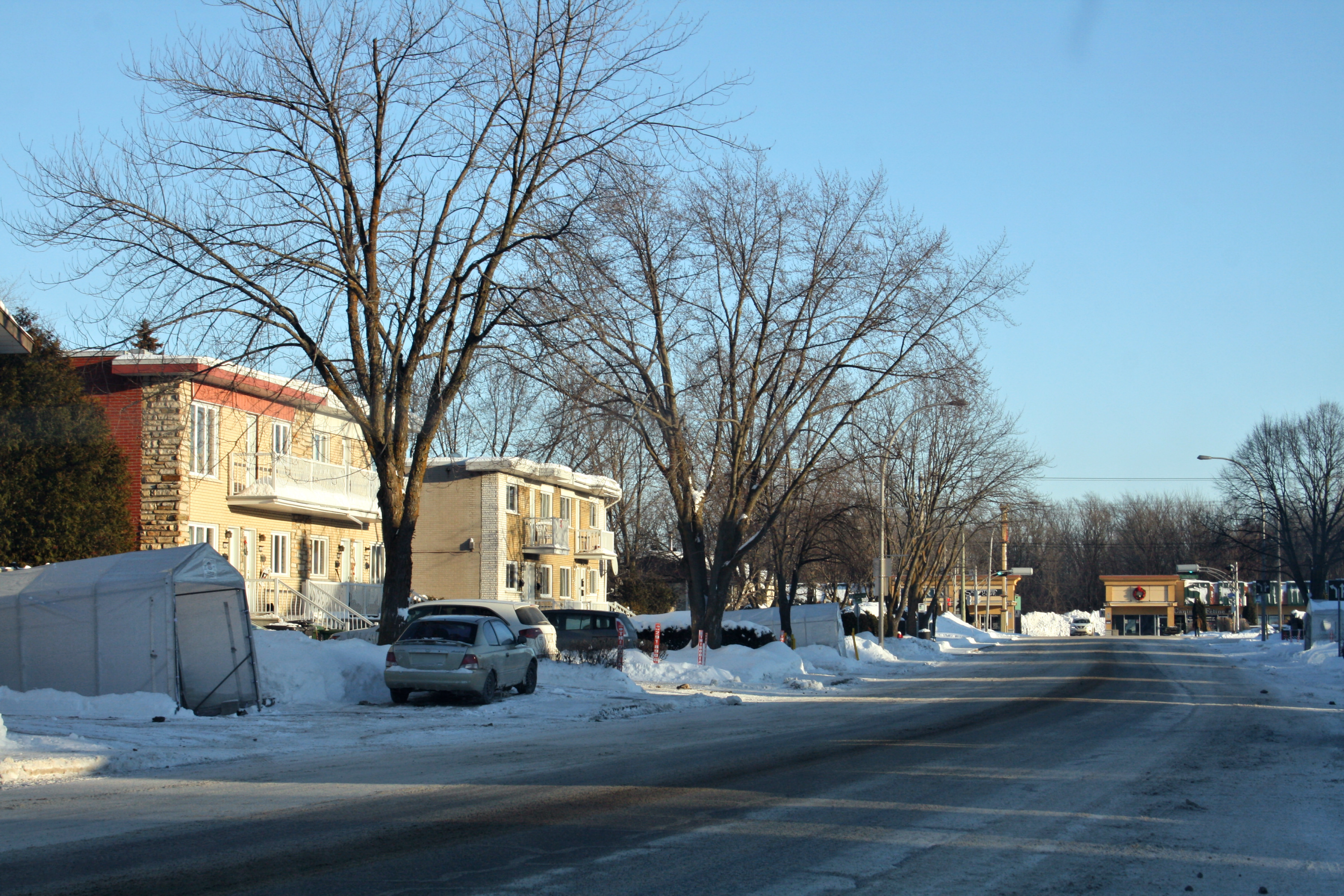
Boisbriand is an off-island suburb of Montreal, in southwestern Quebec, Canada, on the north shore of the Rivière des Mille Îles in the Thérèse-De Blainville Regional County Municipality.
The Hasidic community of Kiryas Tosh is located within the city limits and make up about 10% of its population. The rapidly growing community of 470 families and about 2,700 people was home to the former Tosher Rebbe, Meshulim Feish (Ferencz) Lowy, who established the community in 1963.
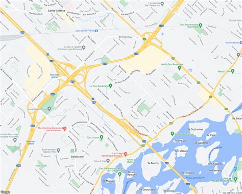
Although relatively small, Boisbriand is bisected by three highways: Highway 13 on the west, Highway 15 on the east, and Highway 640 in the middle/north.