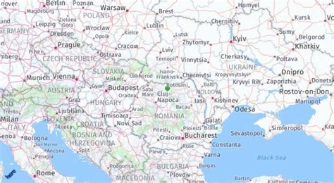
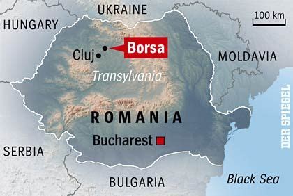
Location: Borşa 🌎
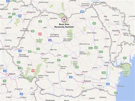
Location: Borşa, Romania
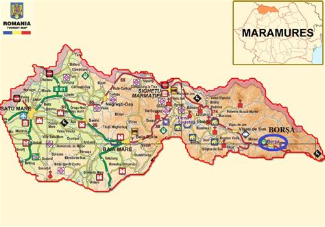
Administration Region: Maramureş
Population: 27711
ISO2 Code: Maramureş
ISO3 Code: ROU
Location Type:
Latitude: 47.6553
Longitude: 24.6631
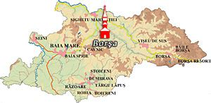
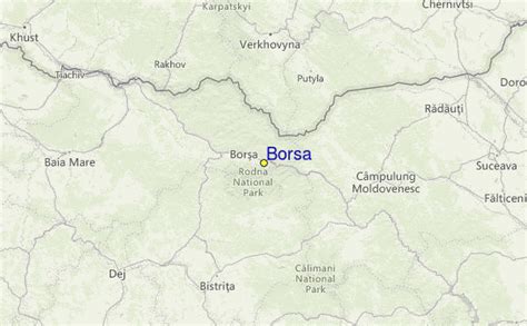
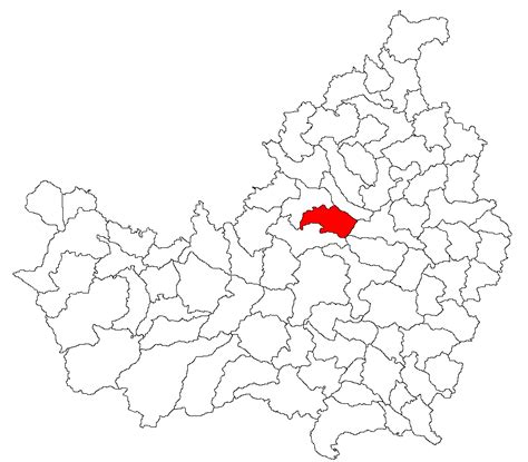
Borșa (Romanian pronunciation: [ˈborʃa]; Hungarian: Borsa, German: Borscha, Yiddish: בורשא Borsha) is a town in eastern Maramureș County, Maramureș, Romania, in the valley of the river Vișeu and near the Prislop Pass. Linking Transylvania to Bukovina, Prislop Pass is surrounded by the Rodna and Maramureș Mountains, both ranges of the Carpathians. The highest peak in the region is Pietrosul Rodnei — 2,303 meters.
The Rodna National Park (which has an area of 463 km²) can be accessed from Borșa. The town is home to a wooden church, built in 1718. It administers one village, Băile Borșa.
In 1891, there were 1,432 Jews living in Borșa. The area has lost much of its population following the collapse of the communist regime. In the past, the town of Borșa was also home to a Zipser German community.
Top Borşa HD Maps, Free Download 🗺️
Map
Maps
United States
United States
World Map
China
China
