Location: Bratislava 🌎
Location: Bratislava, Slovakia
Administration Region: Bratislava
Population: 475503
ISO2 Code: Bratislava
ISO3 Code: SVK
Location Type: Primary Capital
Latitude: 48.1439
Longitude: 17.1097
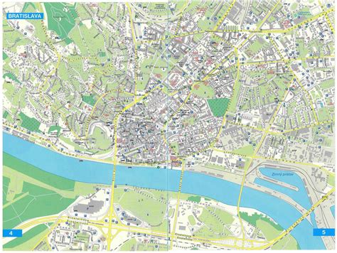
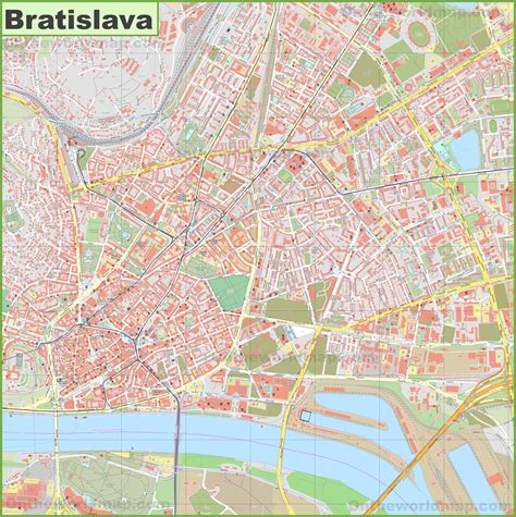
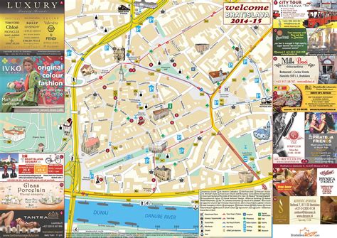
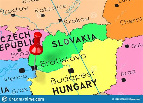
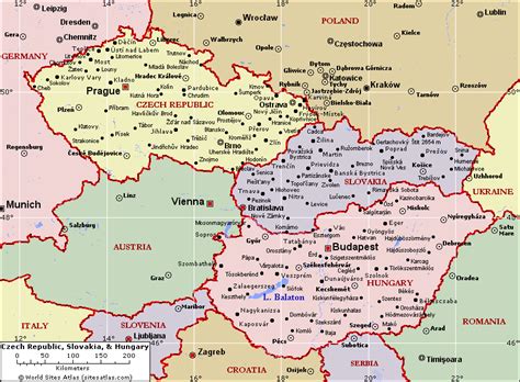
Bratislava ( BRAT-iss-LAH-və, US also BRAHT-, Slovak: [ˈbracislaʋa] ; Hungarian: Pozsony [ˈpoʒoɲ] ), historically known as Pressburg (German: Preßburg), is the capital and largest city of Slovakia. Officially, the population of the city is about 475,000; however, it is estimated to be more than 660,000 — approximately 140% of the official figures. Bratislava is in southwestern Slovakia at the foot of the Little Carpathians, occupying both banks of the River Danube and the left bank of the River Morava. Bordering Austria and Hungary, it is the only national capital to border two sovereign states.The city’s history has been influenced by people of many nations and religions, including Austrians, Bulgarians, Croats, Czechs, Germans, Hungarians, Jews, Romani and Slovaks. It was the coronation site and legislative center and capital of the Kingdom of Hungary from 1563 to 1783; eleven Hungarian kings and eight queens were crowned in St Martin’s Cathedral. Most Hungarian parliament assemblies were held here from the 17th century until the Hungarian Reform Era, and the city has been home to many Hungarian, German and Slovak historical figures.
Today Bratislava is the political, cultural and economic centre of Slovakia. It is the seat of the Slovak president, the parliament and the Slovak Executive. It has several universities, and many museums, theatres, galleries and other cultural and educational institutions. Many of Slovakia’s large businesses and financial institutions have headquarters there.
GDP at purchasing power parity is about three times higher than in other Slovak regions. Bratislava receives around 1 million tourists every year, mostly from the Czech Republic, Germany, and Austria.

Top Bratislava HD Maps, Free Download 🗺️
Map
Maps
United States
United States
World Map
China
China
