Location: Bridlington 🌎
Location: Bridlington, United Kingdom Administration Region: East Riding of Yorkshire Population: 35264 ISO2 Code: East Riding of Yorkshire ISO3 Code: GBR Location Type: Latitude: 54.0819 Longitude: -0.1923
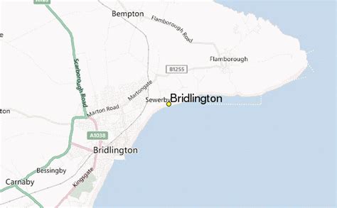
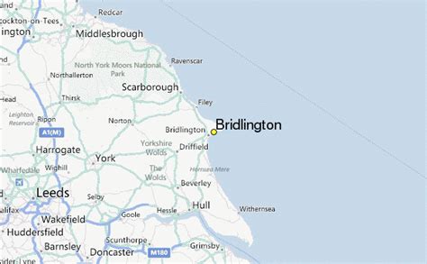
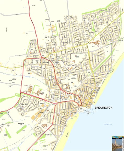
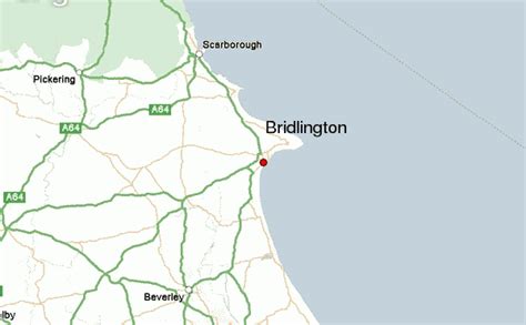
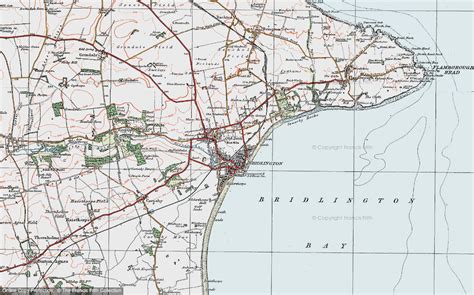
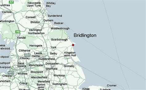
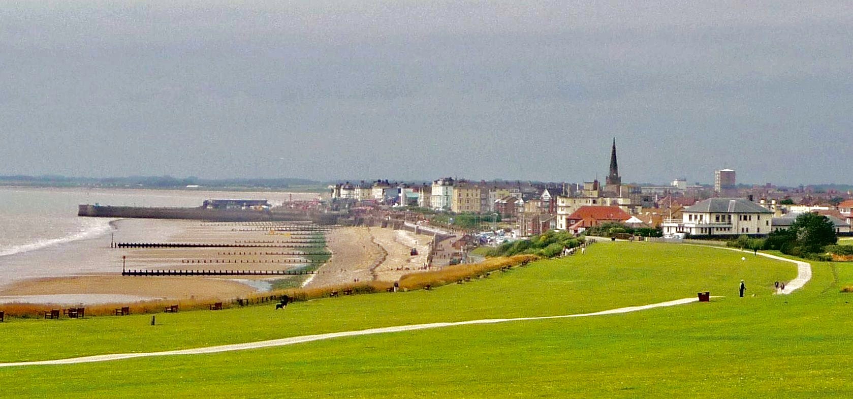
Bridlington is a seaside town and civil parish in the East Riding of Yorkshire, England. It is on the Holderness part (Flamborough Head to the River Humber) of the Yorkshire Coast by the North Sea. The town is about 28 miles (45 km) north of Hull and 34 miles (55 km) east of York. The stream called Gypsey Race flows through the town and enters the North Sea at the harbour. The Priory Church of St Mary and associated Bayle (or gate) are Grade I listed buildings on the site of an Augustinian Priory. As a sea-fishing port, the town is known for shellfish, and is the largest lobster port in Europe, with over 300 tonnes of the crustaceans landed there each year. It has been termed the “Lobster Capital of Europe”. Alongside manufacturing, retail and service firms, its main trade is summer tourism. It holds one of the UK’s coastal weather stations.
Top Bridlington HD Maps, Free Download 🗺️
Map
Maps
United States
United States
World Map
China
China