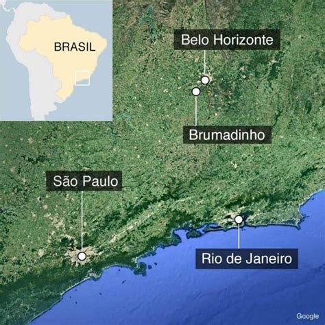
The Brumadinho dam disaster occurred on 25 January 2019 when a tailings dam at the Córrego do Feijão iron ore mine suffered a catastrophic failure. The dam, located 9 kilometres (5.6 mi) east of Brumadinho in Minas Gerais, Brazil, is owned by the mining company Vale, which was also involved in the Mariana dam disaster of 2015. The collapse of the dam released a tidal mudflow that engulfed the mine’s headquarters, including a cafeteria during lunchtime, along with houses, farms, inns, and roads downstream. 270 people died as a result of the collapse, of whom 259 were officially confirmed dead, in January 2019, and 11 others reported as missing, whose bodies had not been found.