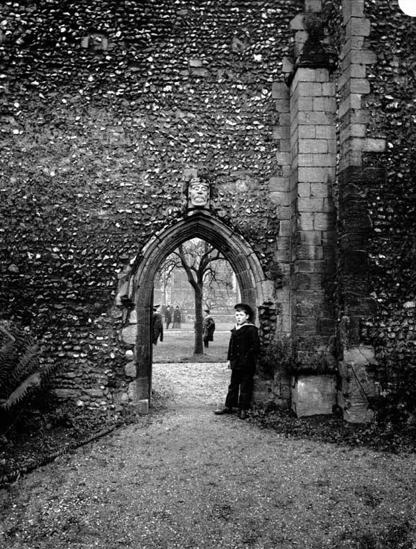
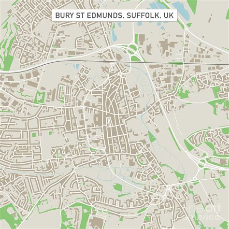
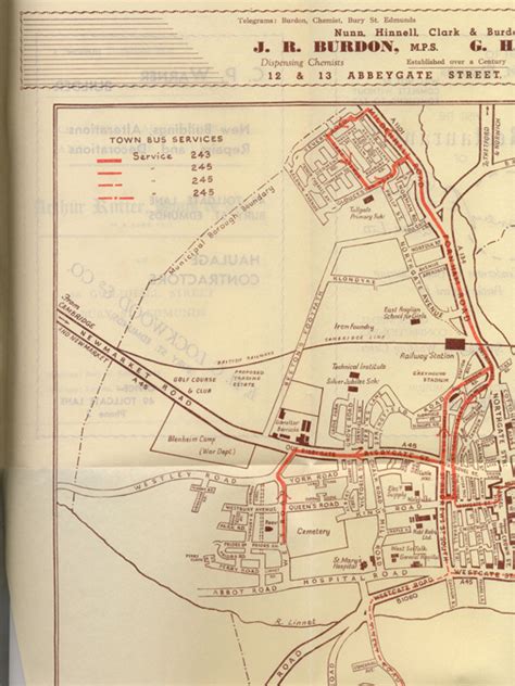
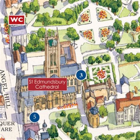
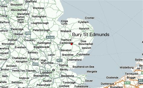
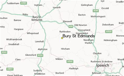
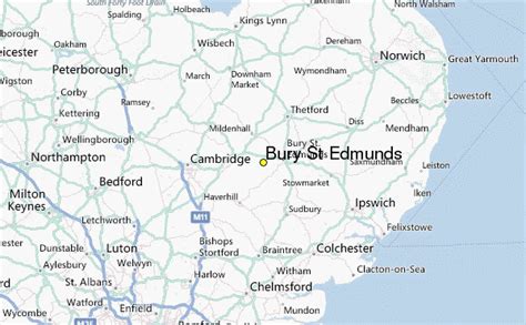
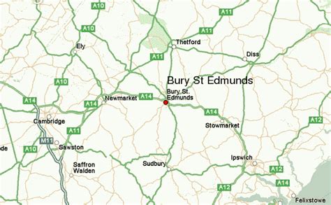
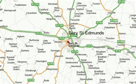
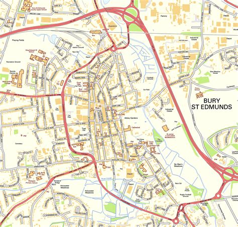
Bury St Edmunds (), commonly referred to locally as Bury, is a historic market and cathedral town and civil parish in Suffolk, England. The picturesque Bury St Edmunds Abbey is near the town centre. Bury is the seat of the Diocese of St Edmundsbury and Ipswich of the Church of England, with the episcopal see at St Edmundsbury Cathedral.
The town, originally called Beodericsworth, was built on a grid pattern by Abbot Baldwin around 1080. It is known for brewing and malting (Greene King brewery) and for a British Sugar processing factory, where Silver Spoon sugar is produced. The town is the cultural and retail centre for West Suffolk and tourism is a major part of the economy.