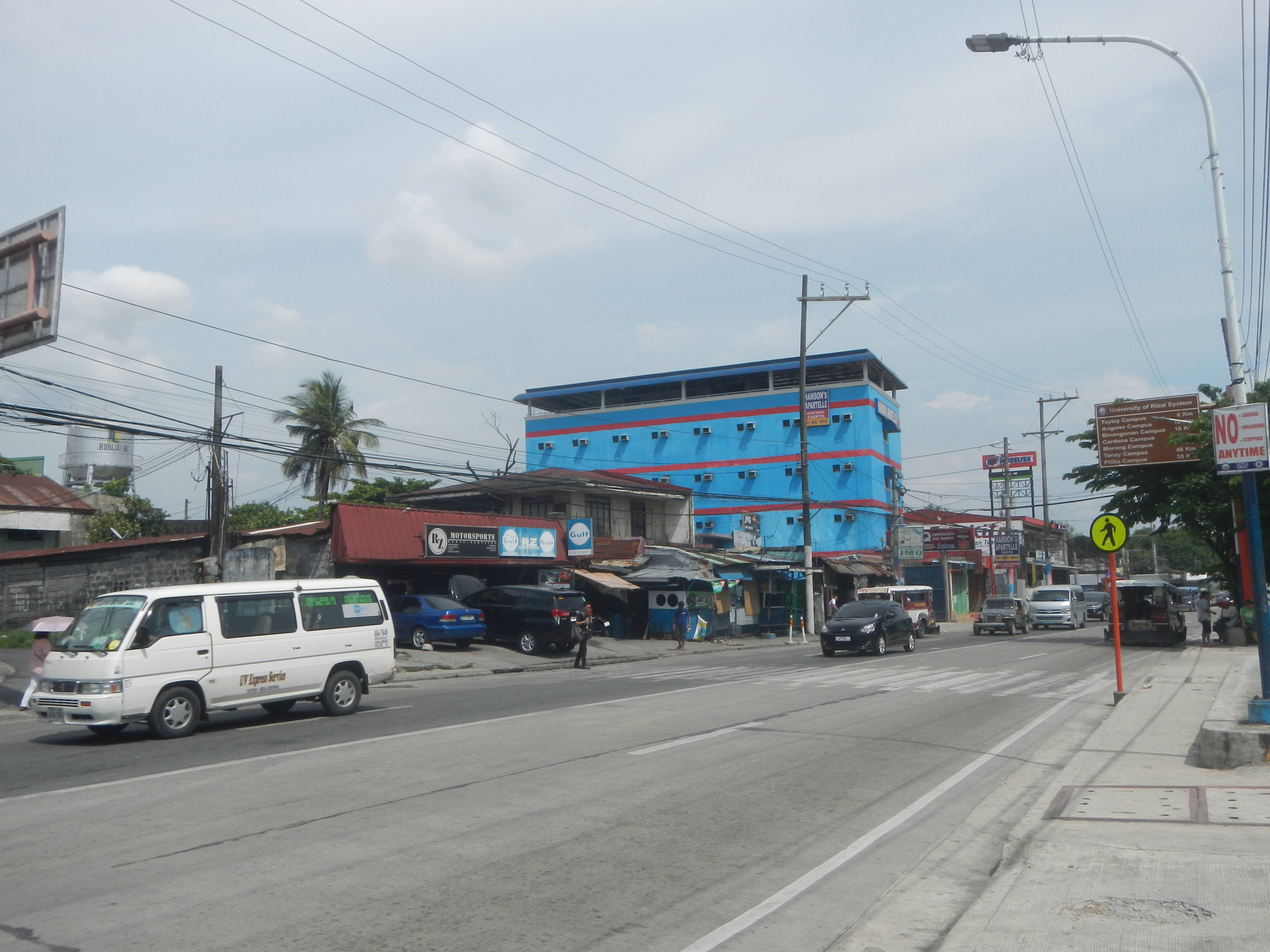
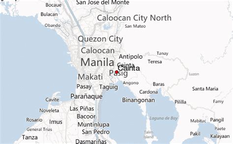
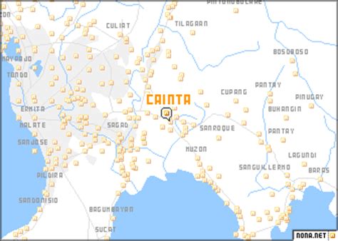
Cainta, officially the Municipality of Cainta (Filipino: Bayan ng Cainta, IPA: [kaʔɪntɐʔ]), is a 1st class municipality in the province of Rizal, Philippines. According to the 2020 census, it has a population of 376,933 people. It is one of the oldest municipalities in Luzon (founded on August 15, 1571) and has a land area of 4,299 hectares (10,620 acres). Cainta serves as the secondary gateway to the rest of Rizal province from Metro Manila. With the continuous expansion of Metro Manila, Cainta is now part of Manila’s conurbation, which reaches Cardona in its easternmost part and is therefore one of the most urbanized towns.
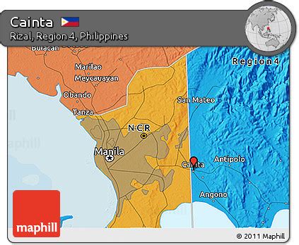
As the country’s 3rd most populous municipality after Taytay, Rizal and Rodriguez, Rizal, efforts are underway to convert it into a city. Its total assets amounting to ₱3,988,392,142.17 (as per 2017 Commission on Audit summary) makes it the richest municipality in the country in terms of income. However, Cainta faces different challenges especially with its boundary disputes with Pasig (Greenpark Village, Karangalan Village, St. Joseph Subdivision, Villarica Subdivision, Riverside and Midtown Village), Taytay, (Greenland and eastern part of Cainta) and Antipolo (Valley Golf and Country Club, Valley View and Palmera Heights), thus hindering cityhood efforts.