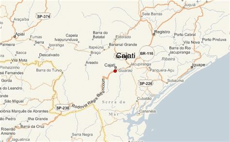
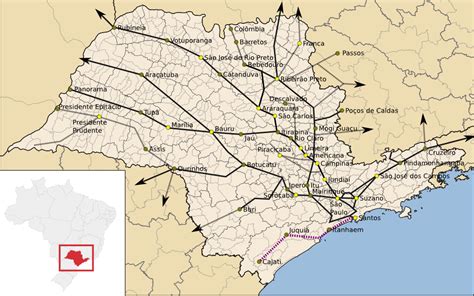
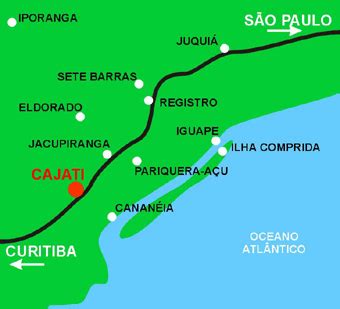
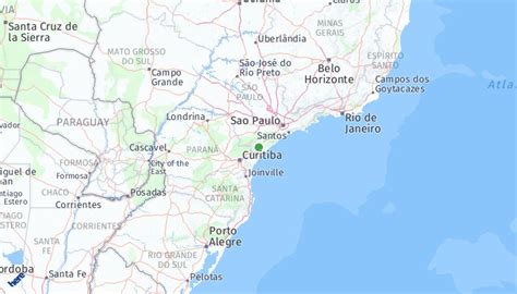
Location: Cajati 🌎
Location: Cajati, Brazil
Administration Region: São Paulo
Population: 28962
ISO2 Code: São Paulo
ISO3 Code: BRA
Location Type:
Latitude: -24.7361
Longitude: -48.1228
Cajati is a municipality in the state of São Paulo in Brazil. The population is 28,494 (2020 est.) in an area of 454 km2. The elevation is 75 m.
The municipality contains part of the 182,596 hectares (451,200 acres) Rio Turvo State Park, created in 2008.
It contains the 890 hectares (2,200 acres) Lavras Sustainable Development Reserve and the 2,976 hectares (7,350 acres) Cajati Environmental Protection Area, created at the same time.
It contains part of the 40,175 hectares (99,270 acres) Caverna do Diabo State Park, also created in 2008.
It contains 3% of the 2,722 hectares (6,730 acres) Planalto do Turvo Environmental Protection Area, created at the same time.
Top Cajati HD Maps, Free Download 🗺️
Map
Maps
United States
United States
World Map
China
China
