Location: Caloocan City 🌎
Location: Caloocan City, Philippines
Administration Region: Caloocan
Population: 1661584
ISO2 Code: Caloocan
ISO3 Code: PHL
Location Type: First-level Admin Capital
Latitude: 14.65
Longitude: 120.97
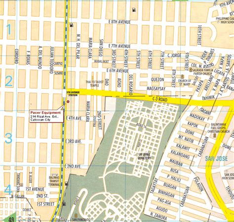
Caloocan, officially the City of Caloocan (Filipino: Lungsod ng Caloocan; IPA: [kalɔʔokan]), is a 1st class highly urbanized city in Metropolitan Manila, Philippines. According to the 2020 census, it has a population of 1,661,584 people making it the fourth-most populous city in the Philippines.
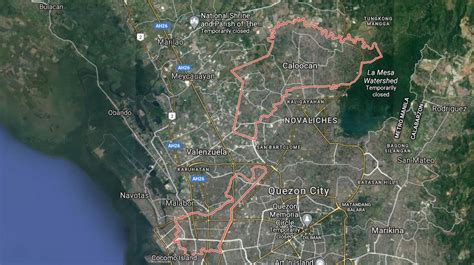
Caloocan is divided into two geographical locations with a total combined area of 5,333.40 hectares (13,179.1 acres). It was formerly part of the Province of Rizal of the Philippines’ Southern Luzon Region. It comprises what is known as the CAMANAVA area along with cities Malabon, Navotas and Valenzuela.
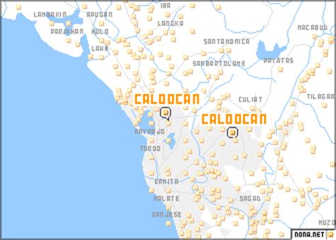
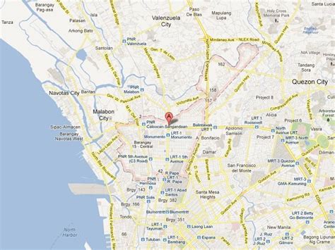
South Caloocan is bordered by Manila, Quezon City, Malabon, Navotas and Valenzuela. Presence of commercial and industrial activities combined with residential areas make it a highly urbanized central business district and a major urban center in the Northern District of Metropolitan Manila. North Caloocan shares its border with Quezon City and Valenzuela, Marilao, Meycauayan and San Jose del Monte in the province of Bulacan, and Rodriguez in the province of Rizal. It is composed of mostly residential subdivisions and extensive resettlement areas with scattered distribution of industrial estates mostly within road transit points and intersections.
Top Caloocan City HD Maps, Free Download 🗺️
Map
Maps
United States
United States
World Map
China
China


