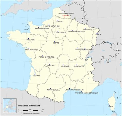
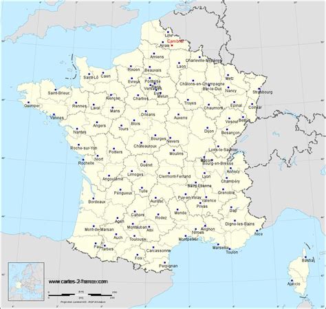
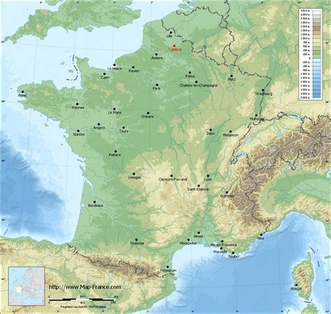
Cambrai (US: , French: [kɑ̃bʁɛ] ; Picard: Kimbré; Dutch: Kamerijk), formerly Cambray and historically in English Camerick or Camericke, is a city in the Nord department and in the Hauts-de-France region of France on the Scheldt river, which is known locally as the Escaut river.
A sub-prefecture of the department, Cambrai is a town which had 32,501 inhabitants in 2018. It is in the heart of the urban unit of Cambrai with 46,772 inhabitants. Its functional area, a more extensive range, included 94,576 inhabitants in 2018. With Lille and the towns of the former Nord-Pas de Calais Mining Basin, it is also part of the Metropolitan area of Lille which has more than 3.8 million inhabitants.
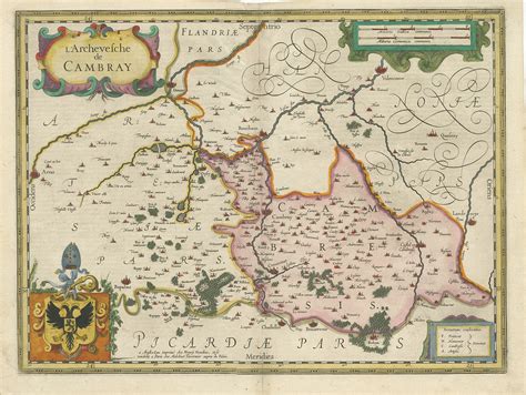
Towards the end of the Roman Empire, Cambrai replaced Bavay as the “capital” of the land of the Nervii. At the beginning of the Merovingian era, Cambrai became the seat of an immense archdiocese covering all the right bank of the Scheldt and the centre of a small ecclesiastical principality, roughly coinciding with the shire of Brabant, including the central part of the Low Countries. The bishopric had some limited secular power and depended on the Holy Roman Empire until annexation to France in 1678. Fénelon, nicknamed the “Swan of Cambrai”, was the most renowned of the archbishops.
The fertile lands which surround it and the textile industry gave it prosperity in the Middle Ages, but in modern times it is less industrialised than its neighbours of Nord-Pas-de-Calais.
Cambrai was the Duke of Wellington’s headquarters, for the British Army of Occupation, from 1815 to 1818. Occupied by the German army during World War I, Cambrai suffered partial destruction in the First Battle of Cambrai from British artillery attacks on the town, including the nearby Bourlon Wood. The fighting around Cambrai, known as the Battle of Cambrai (20 November 1917 – 3 December 1917) is notable in that it is considered to be the first mass use of tanks in battle. A second Battle of Cambrai took place between 8 and 10 October 1918 as part of the Hundred Days Offensive. World War II was followed by reconstructions and a rapidly developing economy and population, abruptly reversed by the 1973 oil crisis.
Cambrai today is a lively city and, despite the past destruction, maintains a rich monumental heritage. Cambrai is affirmed as the urban centre of Cambrésis. Its economic life is strengthened by its position on the main local highway and river.