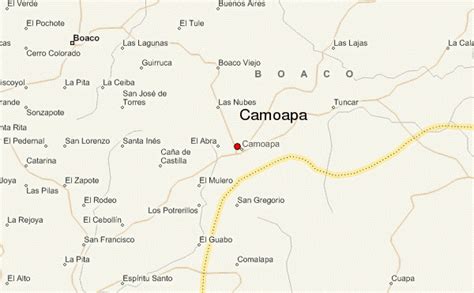
Location: Camoapa 🌎
Location: Camoapa, Nicaragua
Administration Region: Boaco
Population: 34962
ISO2 Code: Boaco
ISO3 Code: NIC
Location Type: Lower-level Admin Capital
Latitude: 12.3833
Longitude: -85.5167
Camoapa is a city and a municipality in the Boaco department of Nicaragua.
Camoapa city is the capital of a municipality described within the Boaco departmental area of Nicaragua. Although Camoapa is a small town, (founded on August 23, 1858), on March 2, 1926, (more than eighty years ago), the status of Camoapa was raised to the title of city. Camoapa Municipality has a population of 39,865 (2021 estimate). Its territory extension, an area of 1,483 km² varies slightly and on average is about 540m above sea level. Camoapa is located 114 km. from Managua.
The population of Camoapa is predominantly rural, 56.6% living in rural areas versus 43.4% living in urban areas.
Camoapa is the largest cattle producing region in Nicaragua. The economy of Camoapa is based primarily on agriculture and the cattle industry, (cattle raising, trading and dairy). Other local industries include leather handcrafting and the crafting of “sombreros de pita”, hand woven hats.
Religion; The population is mostly Catholic, and the Protestant religion is popular as well. While primarily Christian in practice, religious practices in Camoapa can vary.

Top Camoapa HD Maps, Free Download 🗺️
Map
Maps
United States
United States
World Map
China
China
