Location: Cần Thơ 🌎
Location: Cần Thơ, Vietnam
Administration Region: Cần Thơ
Population: 1237300
ISO2 Code: Cần Thơ
ISO3 Code: VNM
Location Type: First-level Admin Capital
Latitude: 10.0333
Longitude: 105.7833
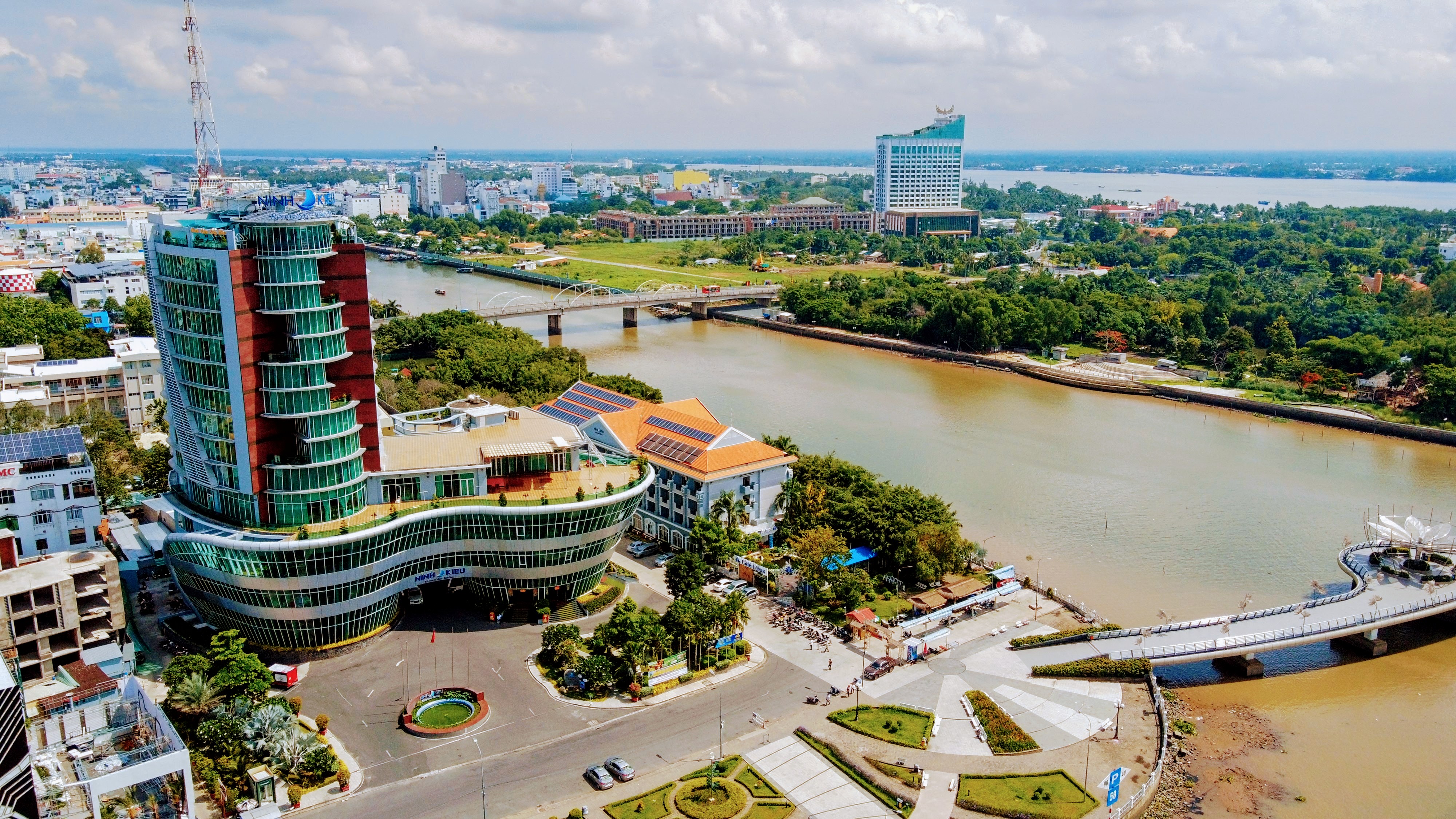
Cần Thơ, also written as Can Tho or Cantho (standard Vietnamese: [kən˨˩ tʰəː˧˧], Southern: [kʌŋ˨˩ tʰəː]), is the fourth-largest city in Vietnam, and the largest city along the Mekong Delta region in Vietnam.It is noted for its floating markets, rice paper-making village, and picturesque rural canals. It has a population of around 1,282,300 as of 2018, and is located on the south bank of the Hậu River, a distributary of the Mekong River. In 2007, about 50 people died when the Cần Thơ Bridge collapsed, causing Vietnam’s worst engineering disaster. In 2011, Cần Thơ International Airport opened.The city is nicknamed the “western capital” (Vietnamese is Tây Đô), and is located 169 kilometres (105 miles) from Hồ Chí Minh City.

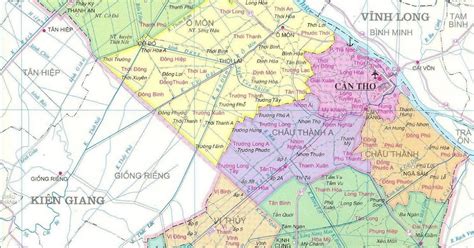
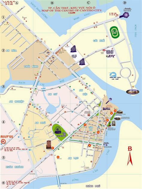
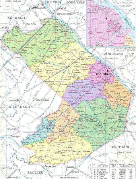
Top Cần Thơ HD Maps, Free Download 🗺️
Map
Maps
United States
United States
World Map
China
China


