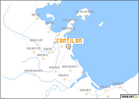
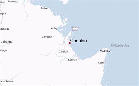
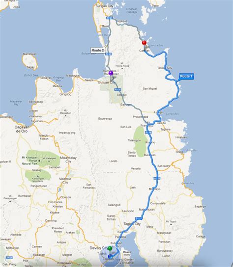
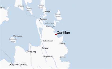
Location: Cantilan 🌎
Location: Cantilan, Philippines
Administration Region: Surigao del Sur
Population: 34060
ISO2 Code: Surigao del Sur
ISO3 Code: PHL
Location Type:
Latitude: 9.3356
Longitude: 125.9769
Cantilan, officially the Municipality of Cantilan (Surigaonon: Lungsod nan Cantilan; Tagalog: Bayan ng Cantilan), is a 2nd class municipality in the province of Surigao del Sur, Philippines. According to the 2020 census, it has a population of 34,060 people. Cantilan is considered the “Cradle of Towns” in Surigao del Sur. It originally encompassed the whole area of Carcanmadcarlan or the present towns of Carrascal, Cantilan, Madrid, Carmen and Lanuza.
Top Cantilan HD Maps, Free Download 🗺️
Map
Maps
United States
United States
World Map
China
China
