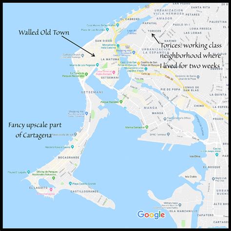
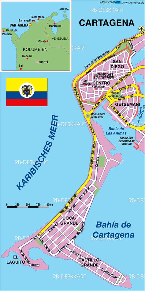
Cartagena ( KAR-tə-HAY-nə), known since the colonial era as Cartagena de Indias (Spanish: [kaɾtaˈxena ðe ˈindjas] ), is a city and one of the major ports on the northern coast of Colombia in the Caribbean Coast Region, bordering the Caribbean sea. Cartagena’s past role as a link in the route to West Indies provides it with important historical value for world exploration and preservation of heritage from the great commercial maritime routes. As a former Spanish colony, it was a key port for the export of Bolivian silver to Spain and for the import of enslaved Africans under the asiento system. It was defensible against pirate attacks in the Caribbean. The city’s strategic location between the Magdalena and Sinú Rivers also gave it easy access to the interior of New Granada and made it a main port for trade between Spain and its overseas empire, establishing its importance by the early 1540s.
Modern Cartagena is the capital of the Bolívar Department, and had a population of 876,885 according to the 2018 census, making it the second-largest city in the Caribbean region, after Barranquilla, and the fifth-largest city in Colombia. The metropolitan area of Cartagena is the sixth-largest urban area in the country, after metropolitan area of Bucaramanga. Economic activities include the maritime and petrochemical industries, as well as tourism.
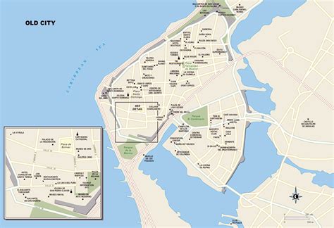
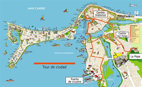
The present city—named after Cartagena, Spain—was founded on 1 June 1533; but settlement by various indigenous people in the region around Cartagena Bay dates from 4000 BC. During the Spanish colonial period Cartagena had a key role in administration and expansion of the Spanish empire. It was a center of political, ecclesiastical, and economic activity. In 1984, Cartagena’s colonial walled city and fortress were designated a UNESCO World Heritage Site.
It was also the site of the Battle of Cartagena de Indias in 1741 during the War of Jenkins’ Ear between Spain and Britain.