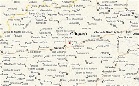
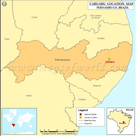
Location: Caruaru 🌎
Location: Caruaru, Brazil
Administration Region: Pernambuco
Population: 347088
ISO2 Code: Pernambuco
ISO3 Code: BRA
Location Type:
Latitude: -8.2828
Longitude: -35.9758
Caruaru is a Brazilian municipality in the state of Pernambuco. The most populous city in the interior of the state, Caruaru is located in the microzone of Agreste and because of its cultural importance, it is nicknamed Capital do Agreste (Portuguese for the “capital city of the Agreste region”), Princesinha do Agreste (“Little Princess of Agreste”), and Capital do Forró (“the capital city of forró”).
The city is located 140 kilometers (87 miles) from the state capital of Recife, which has an international airport. However, Caruaru has its own airport. Caruaru is renowned for its extensive Festival de São João (“Saint John’s Festival”), which takes up the whole month of June, sometimes extending into July. Caruaru had a 2020 resident population of 365,278 inhabitants, living in a land area of 920.61 square kilometers (355.45 square miles).
Caruaru is the hometown, among others, of Álvaro Lins, Brazilian journalist, and Lieutenant Brigadier Reginaldo dos Santos, former dean of the Brazilian Technological Institute for Aeronautics.

Top Caruaru HD Maps, Free Download 🗺️
Map
Maps
United States
United States
World Map
China
China


